14 Beechwood Avenue, Romiley, Stockport, SK6 4DL
About 14 Beechwood Avenue
14 Beechwood Avenue is a property in Romiley, Stockport, Stockport (SK6 4DL). It has council tax band D.
Untraded for 19 years, with the last transfer in March 2007. That sale landed at the peak of the pre-credit-crunch market, which is a useful reference point when interpreting the price. Across 1998–2007, sale prices on this property compounded at 17.3% per year.
Everything you need to know about 14 Beechwood Avenue
The true value, the hidden risks and the full sale history, in one report.
Pick your report · every report is £14.99
One time fee only - money back guarantee

The data behind every report


Energy performance
No EPC on record
This property doesn't have an Energy Performance Certificate yet. An EPC is required to sell or let — and unlocks our automated valuation.
Get a survey for this property
Level 2 HomeBuyer Report
We've checked 10 risk factors against the available data for this property and believe a Level 2 HomeBuyer Report could be a suitable option for you.
Planning history
14 Beechwood Avenue has no planning applications on record.
But the area is active
1 notable application nearby — larger schemes and conversions that could reshape the street. The report maps them all.
Sales history & valuation
Sale price has grown by over 3x since 1998.
£234,590
Growth on file: 17.3% per year over 8 years.
Sales timeline
15 March 2007Most recent
£234,590
+272.4%over 8 years21 December 1998
£63,000
Median price across the last 5 sales in SK6 4DL: £314,155 (2025–2019).
Nearby sales in SK6 4DL
20 Beechwood Avenue, Romiley, Stockport, SK6 4DL
Sold Feb 2025
£94,00011 Beechwood Avenue, Romiley, Stockport, SK6 4DL
Sold Dec 2022
£350,00026 Beechwood Avenue, Romiley, Stockport, SK6 4DL
Sold Oct 2022
£314,15522 Beechwood Avenue, Romiley, Stockport, SK6 4DL
Sold Sept 2021
£158,00016 Beechwood Avenue, Romiley, Stockport, SK6 4DL
Sold Nov 2019
£350,000
Everything you need to know about 14 Beechwood Avenue
The true value, the hidden risks and the full sale history, in one report.
Pick your report · every report is £14.99
One time fee only - money back guarantee
The data behind every report
Similar properties nearby
1 Crossmoor Grove, Romiley
SK6 4AQ
1 Central Drive, Romiley
SK6 4PE
1 Gothic Close, Romiley
SK6 4JT
1 Crossmoor Crescent, Romiley
SK6 4AG
1 Goosehouse Green, Romiley
SK6 4LJ
1 Greave, Romiley
SK6 4PU
1 Far Ridings, Romiley
SK6 4NN
1 Cherry Tree Close, Romiley
SK6 4HD
The neighbourhood at a glance
Rail-style transport is unusually close for this postcode.
Crime
1/mo
Steady year-on-year across the wider district.
Nearest stop
0.2 km
Sandy Lane — bus stop.
Closest school
0.2 km
Romiley Primary School. 18 schools nearby.
Go deeper on the local area
A Local Area report breaks down crime, transport links, schools and air quality in depth.
Road noise across the postcode
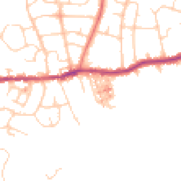
Daytime· 07:00 – 23:00
47.0dB

Night-time· 23:00 – 07:00
38.1dB