12b, Beechwood Avenue, Romiley, Stockport, SK6 4DL
About 12b
12b is a semi-detached house in Romiley, Stockport, Stockport (SK6 4DL). It has a recorded floor area of 73 m² (around 786 sq ft), construction records dating it to 1900-1929 and council tax band A. At 73 m² this is the 4th smallest of 28 units on EPC record in the building, where floor areas span 51–163 m². The building's EPC ratings span E to C, with this unit at the bottom. The latest certificate (September 2017) shows an E (score 54), well below the UK norm with real room to improve. The recommended improvements would lift it to C (score 71), a 2-band jump.
It hasn't traded since March 2003, a hold of 23 years that's notably long for the area. At 73 m² it's 24.7% smaller than the typical home in the postcode (97 m² median across 27 EPCs). It lags the bulk of the postcode on energy efficiency (less efficient than 70% of similar EPCs). Across 1998–2003, sale prices on this property compounded at 17.9% per year. Today's modelled estimate of £241,000 is 44.8% above the 2003 sale price. On a £-per-square-foot basis, the last sale (£212/sq ft) was about 57.5% above the typical sold price in the postcode.
Everything you need to know about 12b
The true value, the hidden risks and the full sale history, in one report.
Pick your report · every report is £14.99
One time fee only - money back guarantee

The data behind every report


Energy performance
Recommended upgrades on file would lift this property by multiple EPC bands.
EPC Rating
Get a survey for this property
Level 3 Building Survey
Because the property was built before 1919, we believe a Level 3 building survey should be considered.
From £885 · Includes VAT
Planning history
12b has no planning applications on record.
But the area is active
1 notable application nearby — larger schemes and conversions that could reshape the street. The report maps them all.
Sales history & valuation
Sale price has at least doubled since 1998.
£241,000
Modelled from EPC, postcode comparables and a sale-price growth of 17.9% per year over 5 years.
£166,450
Growth on file: 17.9% per year over 5 years.
Sales timeline
7 March 2003Most recent
£166,450
+110.7%over 4 years27 August 1998
£79,000
Median price across the last 5 sales in SK6 4DL: £314,155 (2025–2019).
Nearby sales in SK6 4DL
20 Beechwood Avenue, Romiley, Stockport, SK6 4DL
Sold Feb 2025
£94,00011 Beechwood Avenue, Romiley, Stockport, SK6 4DL
Sold Dec 2022
£350,00026 Beechwood Avenue, Romiley, Stockport, SK6 4DL
Sold Oct 2022
£314,15522 Beechwood Avenue, Romiley, Stockport, SK6 4DL
Sold Sept 2021
£158,00016 Beechwood Avenue, Romiley, Stockport, SK6 4DL
Sold Nov 2019
£350,000
Versus other Beechwood Avenue homes
12b is notably below the street on epc rating.
EPC Rating
54 (E)
Street avg 70 (C)
Floor Area
73 m²
Street avg 60 m²
CO₂ Emissions
4.7 t/year
Street avg 2.4 t/year
Habitable Rooms
4 rooms
Street avg 2 rooms
Everything you need to know about 12b
The true value, the hidden risks and the full sale history, in one report.
Pick your report · every report is £14.99
One time fee only - money back guarantee
The data behind every report
Similar properties nearby
1 Etherow Avenue, Romiley
SK6 4HA
1 Greenway, Romiley
SK6 4HH
1 Cherry Tree Close, Romiley
SK6 4HD
1 Gothic Close, Romiley
SK6 4JT
1 Gotherage Close, Romiley
SK6 4ET
1 Douthwaite Drive, Romiley
SK6 4HQ
1 Central Drive, Romiley
SK6 4PE
1 Crossmoor Grove, Romiley
SK6 4AQ
The neighbourhood at a glance
Rail-style transport is unusually close for this postcode.
Crime
1/mo
Steady year-on-year across the wider district.
Nearest stop
0.2 km
Sandy Lane — bus stop.
Closest school
0.2 km
Romiley Primary School. 18 schools nearby.
Go deeper on the local area
A Local Area report breaks down crime, transport links, schools and air quality in depth.
Road noise across the postcode
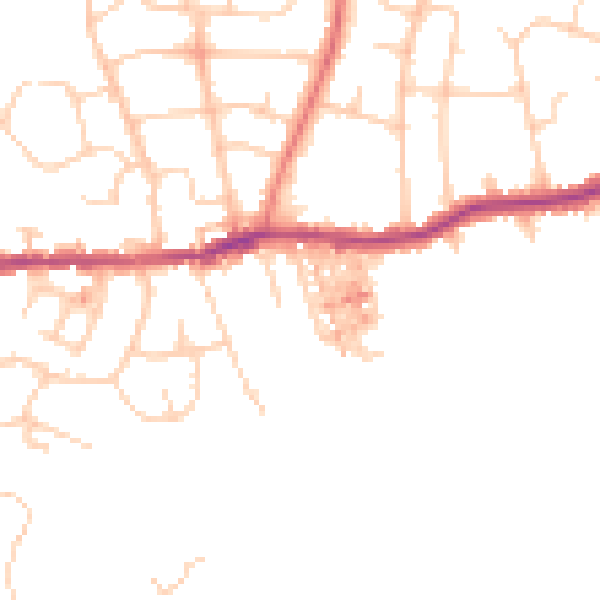
Daytime· 07:00 – 23:00
47.0dB

Night-time· 23:00 – 07:00
38.1dB