28 Bunkers Hill, Romiley, Stockport, SK6 3DS
About 28 Bunkers Hill
28 Bunkers Hill is a five-bedroom property in Romiley, Stockport, Stockport (SK6 3DS). It has council tax band E.
2 planning records sit against the property, 2 approved, 0 refused. Past consents include an extension, meaningful when judging how the property has evolved. 12 years since the last transfer (December 2013). 5 bedrooms is on the larger side for this postcode, where 3 is the typical count.
What this property has
Inside
- Bedrooms5
Everything you need to know about 28 Bunkers Hill
The true value, the hidden risks and the full sale history, in one report.
Pick your report · every report is £14.99
One time fee only - money back guarantee

The data behind every report


Energy performance
No EPC on record
This property doesn't have an Energy Performance Certificate yet. An EPC is required to sell or let — and unlocks our automated valuation.
Get a survey for this property
Level 2 HomeBuyer Report
We've checked 10 risk factors against the available data for this property and believe a Level 2 HomeBuyer Report could be a suitable option for you.
Planning history
28 Bunkers Hill has an approved single-storey side and rear extension on the planning record.
2 applications on record at 28 Bunkers Hill, Romiley, Stockport, SK6 3DS
- Dec 2002ExtensionFullOutcome in report
Extension: Single storey · Side and rear of property
First floor rear extension, single storey rear/side extension
- Reference
- DC/009405
- More recent applications — locked
- ExtensionSept 2003Decision
Unlock 28 Bunkers Hill, Romiley, Stockport, SK6 3DS's full planning history
You're seeing the shape of it. The report has the substance.
- Every decision — granted, refused or withdrawn (2 on record)
- All 2 applications on this property in full, plus 1 notable nearby
- The 1 documents, officer reports & conditions
- What the pattern means for extending or converting here
One time fee only - money back guarantee
Sales history & valuation
£355,000
Recorded with HM Land Registry.
Sales timeline
20 December 2013Most recent
£355,000
Median price across the last 5 sales in SK6 3DS: £575,000 (2025–2022).
Nearby sales in SK6 3DS
24 Bunkers Hill, Romiley, Stockport, SK6 3DS
Sold Jul 2025
£515,0008 Bunkers Hill, Romiley, Stockport, SK6 3DS
Sold Aug 2024
£575,00022 Bunkers Hill, Romiley, Stockport, SK6 3DS
Sold Feb 2024
£310,00046 Bunkers Hill, Romiley, Stockport, SK6 3DS
Sold May 2023
£720,0002 Bunkers Hill, Romiley, Stockport, SK6 3DS
Sold Jun 2022
£660,000
Everything you need to know about 28 Bunkers Hill
The true value, the hidden risks and the full sale history, in one report.
Pick your report · every report is £14.99
One time fee only - money back guarantee
The data behind every report
Similar properties nearby
1 Bredbury Green, Romiley
SK6 3DN
1 Greenhead Fold, Romiley
SK6 3DW
1 Chadkirk Road, Romiley
SK6 3JY
1 Eastover, Romiley
SK6 3ES
1 Hill Rise, Romiley
SK6 3AP
1 Buckley Drive, Romiley
SK6 3EW
1 Highfield Avenue, Romiley
SK6 3DA
1 Green Tree Gardens, Romiley
SK6 3JL
The neighbourhood at a glance
Rail-style transport is unusually close for this postcode.
Crime
1/mo
Steady year-on-year across the wider district.
Nearest stop
0.2 km
Overdale Road — bus stop.
Closest school
0.6 km
Bredbury Green Primary School. 19 schools nearby.
Go deeper on the local area
A Local Area report breaks down crime, transport links, schools and air quality in depth.
Road noise across the postcode
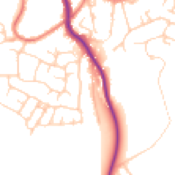
Daytime· 07:00 – 23:00
49.9dB

Night-time· 23:00 – 07:00
40.5dB