1 Goyt View, Romiley, Stockport, SK6 3DD
About 1 Goyt View
1 Goyt View is a semi-detached house in Romiley, Stockport, Stockport (SK6 3DD). It has a recorded floor area of 78 m² (around 840 sq ft), construction records dating it to 1930-1949 and council tax band B. The latest certificate (February 2014) shows a C (score 74). The rating has held steady at C across 3 certificates since September 2013. Between certificates, wall efficiency went from Poor to Good. The recommended improvements would push it to B (score 88). The latest certificate is from February 2014, so improvements made since then won't be reflected.
Everything you need to know about 1 Goyt View
The true value, the hidden risks and the full sale history, in one report.
Pick your report · every report is £14.99
One time fee only - money back guarantee

The data behind every report


Energy performance
1 Goyt View's EPC is over a decade old — improvements since won't be reflected.
EPC Expired
This certificate is over 10 years old and is no longer valid.Expired 05 Feb 2024
EPC Rating
Property Improvements
Changes detected from historical EPC data
More low energy lighting installed
Cavity wall insulation installed
Roof insulation improved
Low energy lighting percentage decreased
Get a survey for this property
Level 2 HomeBuyer Report
We've checked 10 risk factors against the available data for this property and believe a Level 2 HomeBuyer Report could be a suitable option for you.
From £545 · Includes VAT
Planning history
1 Goyt View has no planning applications on record.
But the area is active
1 notable application nearby — larger schemes and conversions that could reshape the street. The report maps them all.
Sales history & valuation
1 Goyt View has no Land Registry sales on file, suggesting it has stayed in the same hands since registration began.
£232,000
Modelled from EPC, postcode comparables.
No sales recorded with HM Land Registry
That can mean the property has never traded since the registry began publishing in 1995, was a new build that hasn't been registered yet, or is held in the same hands long-term.
Everything you need to know about 1 Goyt View
The true value, the hidden risks and the full sale history, in one report.
Pick your report · every report is £14.99
One time fee only - money back guarantee
The data behind every report
Similar properties nearby
1 Georgian Court, Romiley
SK6 3BP
1 Harrytown, Romiley
SK6 3BS
1 Beverley Walk, Romiley
SK6 3HG
1 Hereford Walk, Romiley
SK6 3HN
1 Hatherlow, Romiley
SK6 3DP
1 Carlisle Close, Romiley
SK6 3HS
1 Agecroft Road, Romiley
SK6 3HT
1 Highfield Avenue, Romiley
SK6 3DA
The neighbourhood at a glance
Daytime road noise here sits well below conversation level — a quiet pocket of the postcode.
Crime
1/mo
Steady year-on-year across the wider district.
Nearest stop
0.2 km
Goyt Valley Road — bus stop.
Closest school
0.2 km
Werneth School. 22 schools nearby.
Go deeper on the local area
A Local Area report breaks down crime, transport links, schools and air quality in depth.
Road noise across the postcode
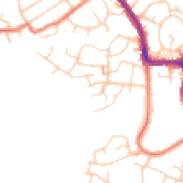
Daytime· 07:00 – 23:00
48.2dB

Night-time· 23:00 – 07:00
38.6dB