4 Ruskin Grove, Bredbury, Stockport, SK6 1DW
About 4 Ruskin Grove
4 Ruskin Grove is a semi-detached house in Bredbury, Stockport, Stockport (SK6 1DW). It has a recorded floor area of 90 m² (around 969 sq ft), construction records dating it to 1900-1929 and council tax band B. The latest certificate (October 2015) shows a D (score 68), on the cusp of jumping into the C band. The recommended improvements would lift it to B (score 82), a 2-band jump. The latest certificate is from October 2015, so improvements made since then won't be reflected.
At 90 m² it's 25% larger than the typical home in the postcode (72 m² median across 23 EPCs).
Everything you need to know about 4 Ruskin Grove
The true value, the hidden risks and the full sale history, in one report.
Pick your report · every report is £14.99
One time fee only - money back guarantee

The data behind every report


Energy performance
Recommended upgrades on file would lift this property by multiple EPC bands.
EPC Expired
This certificate is over 10 years old and is no longer valid.Expired 16 Oct 2025
EPC Rating
Get a survey for this property
Level 3 Building Survey
Because the property was built before 1919, we believe a Level 3 building survey should be considered.
From £885 · Includes VAT
Planning history
4 Ruskin Grove has no planning applications on record.
But the area is active
2 notable applications nearby — larger schemes and conversions that could reshape the street. The report maps them all.
Sales history & valuation
4 Ruskin Grove has no Land Registry sales on file, suggesting it has stayed in the same hands since registration began.
£263,000
Modelled from EPC, postcode comparables.
No sales recorded with HM Land Registry
That can mean the property has never traded since the registry began publishing in 1995, was a new build that hasn't been registered yet, or is held in the same hands long-term.
Median price across the last 5 sales in SK6 1DW: £235,000 (2025–2022).
Nearby sales in SK6 1DW
54 Ruskin Grove, Bredbury, Stockport, SK6 1DW
Sold Oct 2025
£235,00012 Ruskin Grove, Bredbury, Stockport, SK6 1DW
Sold Mar 2025
£235,0002 Ruskin Grove, Bredbury, Stockport, SK6 1DW
Sold Jun 2024
£310,00060 Ruskin Grove, Bredbury, Stockport, SK6 1DW
Sold Jul 2023
£257,50064 Ruskin Grove, Bredbury, Stockport, SK6 1DW
Sold Oct 2022
£215,000
Versus other Ruskin Grove homes
4 Ruskin Grove outperforms the street on floor area by a wide margin.
EPC Rating
68 (D)
Street avg 63 (D)
Floor Area
90 m²
Street avg 76 m²
CO₂ Emissions
3.5 t/year
Street avg 3.5 t/year
Habitable Rooms
5 rooms
Street avg 4 rooms
Everything you need to know about 4 Ruskin Grove
The true value, the hidden risks and the full sale history, in one report.
Pick your report · every report is £14.99
One time fee only - money back guarantee
The data behind every report
Similar properties nearby
1 Ennerdale Road, Woodley
SK6 1BJ
1 Chorlton Fold, Woodley
SK6 1NZ
1 Ashton Street, Woodley
SK6 1PB
1 Bankfield Cottages, Woodley
SK6 1RG
1 Bankfield Road, Woodley
SK6 1RH
1 Birchall Green, Woodley
SK6 1RZ
1 Briar Grove, Woodley
SK6 1QW
1 Delamere Close, Woodley
SK6 1LF
The neighbourhood at a glance
Crime
1/mo
Steady year-on-year across the wider district.
Nearest stop
0.1 km
Bredbury Library — bus stop.
Closest school
0.2 km
St Christopher's Catholic Primary School, a Voluntary Academy. 20 schools nearby.
Go deeper on the local area
A Local Area report breaks down crime, transport links, schools and air quality in depth.
Road noise across the postcode
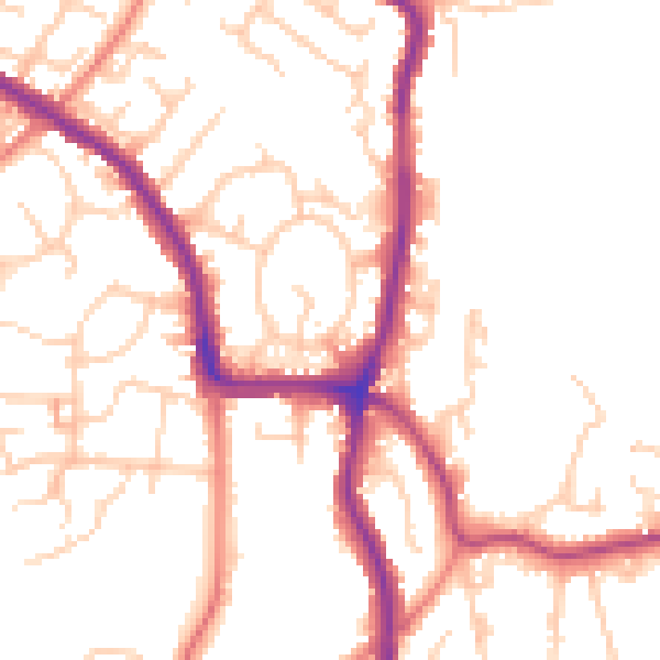
Daytime· 07:00 – 23:00
51.4dB

Night-time· 23:00 – 07:00
41.8dB