14 Ruskin Grove, Bredbury, Stockport, SK6 1DW
About 14 Ruskin Grove
14 Ruskin Grove is a property in Bredbury, Stockport, Stockport (SK6 1DW). It has council tax band B.
Held since June 2005 — that's 21 years off the open market, well above the local norm. One planning record on file: an extension approved in 2015. Past consents include an extension and a porch, meaningful when judging how the property has evolved. Across 2002–2005, sale prices on this property compounded at 30.6% per year.
Everything you need to know about 14 Ruskin Grove
The true value, the hidden risks and the full sale history, in one report.
Pick your report · every report is £14.99
One time fee only - money back guarantee

The data behind every report


Energy performance
No EPC on record
This property doesn't have an Energy Performance Certificate yet. An EPC is required to sell or let — and unlocks our automated valuation.
Get a survey for this property
Level 2 HomeBuyer Report
We've checked 10 risk factors against the available data for this property and believe a Level 2 HomeBuyer Report could be a suitable option for you.
Planning history
1 application on record at 14 Ruskin Grove, Bredbury, Stockport, SK6 1DW
- Aug 2015PorchFullOutcome in report
Extension: Two storey · Side of property
Erection of two storey side extension, front porch and raised decking at rear (Amended description of development)
Extension- Documents
- 8 docs on file
- Reference
- DC/059269
Unlock 14 Ruskin Grove, Bredbury, Stockport, SK6 1DW's full planning history
You're seeing the shape of it. The report has the substance.
- Every decision — granted, refused or withdrawn (1 on record)
- All 1 application on this property in full, plus 2 notable nearby
- The 8 documents, officer reports & conditions
- What the pattern means for extending or converting here
One time fee only - money back guarantee
Sales history & valuation
14 Ruskin Grove changed hands twice within eighteen months — unusual for the area.
£124,950
Growth on file: 30.6% per year over 3 years.
Sales timeline
23 June 2005Most recent
£124,950
+47.0%28 January 2005
£85,000
+32.8%over 2 years20 December 2002
£64,000
Median price across the last 5 sales in SK6 1DW: £235,000 (2025–2022).
Nearby sales in SK6 1DW
54 Ruskin Grove, Bredbury, Stockport, SK6 1DW
Sold Oct 2025
£235,00012 Ruskin Grove, Bredbury, Stockport, SK6 1DW
Sold Mar 2025
£235,0002 Ruskin Grove, Bredbury, Stockport, SK6 1DW
Sold Jun 2024
£310,00060 Ruskin Grove, Bredbury, Stockport, SK6 1DW
Sold Jul 2023
£257,50064 Ruskin Grove, Bredbury, Stockport, SK6 1DW
Sold Oct 2022
£215,000
Everything you need to know about 14 Ruskin Grove
The true value, the hidden risks and the full sale history, in one report.
Pick your report · every report is £14.99
One time fee only - money back guarantee
The data behind every report
Similar properties nearby
1 Braddon Road, Woodley
SK6 1RE
1 Chapel Street, Woodley
SK6 1NF
1 Botany Road, Woodley
SK6 1RA
1 Castle Hill Park, Mill Lane, Woodley
SK6 1QQ
1 Bankfield Road, Woodley
SK6 1RH
1 Ashton Street, Woodley
SK6 1PB
1 Chorlton Fold, Woodley
SK6 1NZ
1 Ennerdale Road, Woodley
SK6 1BJ
The neighbourhood at a glance
Crime
1/mo
Steady year-on-year across the wider district.
Nearest stop
0.1 km
Bredbury Library — bus stop.
Closest school
0.2 km
St Christopher's Catholic Primary School, a Voluntary Academy. 20 schools nearby.
Go deeper on the local area
A Local Area report breaks down crime, transport links, schools and air quality in depth.
Road noise across the postcode
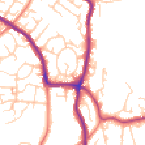
Daytime· 07:00 – 23:00
51.4dB

Night-time· 23:00 – 07:00
41.8dB