1 Spinnerbottom, Birch Vale, High Peak, SK22 1AA
5 sales on record
About 1 Spinnerbottom
A plain-English summary derived from public records, EPC certificates, sold prices and local data.
1 Spinnerbottom is a two-bedroom end-of-terrace house in Birch Vale, High Peak, High Peak (SK22 1AA). It has a recorded floor area of 59 m² (around 635 sq ft), construction records dating it to before 1900 and council tax band B. The latest certificate (September 2011) shows an E (score 54), well below the UK norm with real room to improve. The recommended improvements would push it to D (score 63). The latest certificate is from September 2011, so improvements made since then won't be reflected. Other recorded features include a loft. Period features are noted in the property record.
Sale prices here have outpaced High Peak HPI: 3.4% per year against 0% for the wider region. Today's modelled estimate of £264,000 is 25.7% above the 2019 sale price. On a £-per-square-foot basis, the last sale (£331/sq ft) was about 66.8% above the typical sold price in the postcode. At 59 m² it sits well below the postcode median (148 m² across 3 EPCs), making it one of the more compact homes locally. Most recent transfer: May 2019 at £210,000. Across the public record there are 5 sales, relatively high churn for a single property.
What this property has
Pulled from EPC certificates, claim submissions and our property model. Empty categories are hidden — we only show what's known.
Inside
- Bedrooms2
- CloakroomYes
- EnsuiteYes
- LoftYes
Energy performance
Every EPC certificate filed against this property — current rating, recorded improvements, and where there's headroom to reach a higher band.
1 Spinnerbottom's EPC is over a decade old — improvements since won't be reflected.
EPC Expired
This certificate is over 10 years old and is no longer valid.Expired 09 Sept 2021
Planning history
Applications and permits filed against 1 Spinnerbottom, Birch Vale, High Peak, SK22 1AA, sourced from the PlanIt planning register.
No planning applications are recorded against 1 Spinnerbottom, Birch Vale, High Peak, SK22 1AA. The full report also covers planning activity across the surrounding area.
Full planning data for 1 Spinnerbottom, Birch Vale, High Peak, SK22 1AA
Every application and decision on this property and nearby, in full, in the report.
Sales history & valuation
Recorded transactions, our model's current estimate, and a quick read on what neighbouring properties have sold for.
1 Spinnerbottom has changed hands more often than typical for the area.
Current estimate
See how we calculated this£264,000
Modelled from EPC, postcode comparables and a sale-price growth of 3.4% per year over 17 years.
Last sold (2019)
£210,000
Growth on file: 3.4% per year over 17 years.
Sales timeline
Launch offer · 33% off
The complete analysis of 1 Spinnerbottom, Birch Vale, High Peak, SK22 1AA
Everything we know about this property, compiled into one in-depth, downloadable report.
Detailed analysis
A written breakdown of everything that matters
Versus other Spinnerbottom homes
Four headline reads against 3 similar houses on this street, drawn from the latest EPC and Land Registry data.
Floor Area for 1 Spinnerbottom lags the street by a wide margin.
EPC Rating
54 (E)
Street avg 52 (E)
Floor Area
59 m²
Street avg 125 m²
CO₂ Emissions
4.7 t/year
Street avg 7.9 t/year
Similar properties nearby
A handful of close matches in the same postcode area, ranked by likeness on bedrooms, type and floor area.
The neighbourhood at a glance
A condensed read of the local area. Each tile links through to the full breakdown on the High Peak district page.
Daytime road noise here sits well below conversation level — a quiet pocket of the postcode.
Crime
3/mo
Steady year-on-year across the wider district.
Nearest stop
0.0 km
Road noise across the postcode
Modelled day and night-time noise levels around SK22 1AA from Defra's strategic mapping. The pin marks this postcode's centroid.
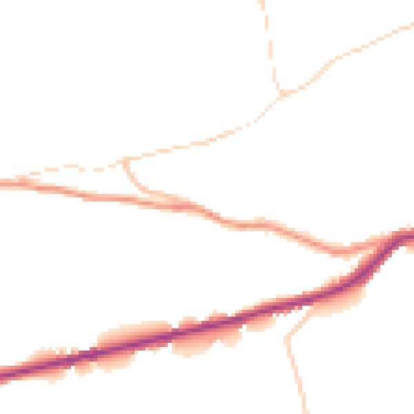
Daytime· 07:00 – 23:00
46.2dB

Everything within walking distance
Schools, transport stops and scenic spots near this property — 36 points of interest in total.
Common questions
The questions buyers, sellers and homeowners most often ask about 1 Spinnerbottom, Birch Vale, High Peak, SK22 1AA. Each answer is also embedded as structured data for search engines.
