Highfield, Knutsford Road, Chelford, Macclesfield, SK11 9AS
About Highfield
Highfield is a detached house in Chelford, Macclesfield, Macclesfield (SK11 9AS). It has a recorded floor area of 159 m² (around 1711 sq ft), construction records dating it to 1950-1966 and council tax band G. The latest certificate (February 2024) shows an E (score 53), well below the UK norm with real room to improve. The recommended improvements would lift it to C (score 72), a 2-band jump. Main heating runs on oil.
At 159 m² the property is well over the postcode median (113 m² across 12 EPCs), placing it in the larger end of the local stock.
Everything you need to know about Highfield
The true value, the hidden risks and the full sale history, in one report.
30-day money-back guarantee

The data behind every report


Energy performance
Highfield's carbon output runs well above what efficient homes in the postcode produce.
EPC Rating
Planning history
Highfield has no planning applications on record.
Notable planning nearby
2applications of note in the surrounding area
We flagged 1 thing worth checking at Highfield
Independent checks surfaced things a buyer would want to understand before offering. The report explains each one in full, with the underlying data and what to ask.
- Larger development activity nearby
30-day money-back guarantee
Sales history & valuation
Highfield has no Land Registry sales on file, suggesting it has stayed in the same hands since registration began.
£687,000
Modelled from EPC, postcode comparables.
No sales recorded with HM Land Registry
That can mean the property has never traded since the registry began publishing in 1995, was a new build that hasn't been registered yet, or is held in the same hands long-term.
Median price across the last 5 sales in SK11 9AS: £433,000 (2024–2020).
Nearby sales in SK11 9AS
Cruachan, Knutsford Road, Chelford, Macclesfield, SK11 9AS
Sold Nov 2024
£260,000The Woodlands, Knutsford Road, Chelford, Macclesfield, SK11 9AS
Sold Jun 2022
£3,650,0002 Knutsford Road Cottages, Knutsford Road, Chelford, Macclesfield, SK11 9AS
Sold Jun 2021
£320,000Candlewick Cottage, Knutsford Road, Chelford, Macclesfield, SK11 9AS
Sold Oct 2020
£433,000Oakleigh, Knutsford Road, Chelford, Macclesfield, SK11 9AS
Sold Mar 2020
£510,000
Versus other Knutsford Road homes
On habitable rooms, Highfield stands well clear of the street.
EPC Rating
53 (E)
Street avg 59 (D)
Floor Area
159 m²
Street avg 174 m²
CO₂ Emissions
9.0 t/year
Street avg 8.4 t/year
Habitable Rooms
7 rooms
Street avg 6 rooms
Everything you need to know about Highfield
The true value, the hidden risks and the full sale history, in one report.
30-day money-back guarantee
The data behind every report
Similar properties nearby
1 Burnt Acre, Chelford
SK11 9SS
1 Drumble Field, Chelford
SK11 9BT
1 Galloway Road, Chelford
SK11 9FX
1 Brookhouse Barn, Congleton Road, Gawsworth
SK11 9ET
1 Forge Close, Gawsworth
SK11 9EW
1 Chapel Croft, Chelford
SK11 9SU
1 Congleton Lane, Chelford
SK11 9AG
1 Edgeway, Henbury
SK11 9PA
The neighbourhood at a glance
Rail-style transport is unusually close for this postcode.
Crime
6/mo
Steady year-on-year across the wider district.
Nearest stop
0.0 km
Dixon Drive — bus stop.
Closest school
0.2 km
Chelford CofE Primary School. 2 schools nearby.
Go deeper on the local area
The full report breaks down crime, transport links, schools and air quality in depth.
Road noise across the postcode
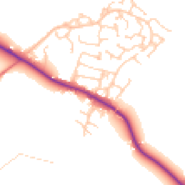
Daytime· 07:00 – 23:00
50.0dB

Night-time· 23:00 – 07:00
42.6dB