19 Cambridge Avenue, Macclesfield, SK11 8JN
About 19 Cambridge Avenue
19 Cambridge Avenue is a semi-detached house in Macclesfield (SK11 8JN). It has a recorded floor area of 90 m² (around 967 sq ft), construction records dating it to 1930-1949 and council tax band C. The latest certificate (March 2010) shows a C (score 72). The latest certificate is from March 2010, so improvements made since then won't be reflected.
Across 2006–2011, sale prices on this property compounded at -3.2% per year. Today's modelled estimate of £308,000 sits 81.2% above the 2011 sale of £170,000. Its energy rating outperforms most of the postcode (better than 78% of similar EPCs). Last changed hands 15 years ago, in October 2011.
Everything you need to know about 19 Cambridge Avenue
The true value, the hidden risks and the full sale history, in one report.
30-day money-back guarantee

The data behind every report


Energy performance
19 Cambridge Avenue's EPC is over a decade old — improvements since won't be reflected.
EPC Expired
This certificate is over 10 years old and is no longer valid.Expired 26 Mar 2020
EPC Rating
Planning history
19 Cambridge Avenue has no planning applications on record.
Notable planning nearby
3applications of note in the surrounding area
Sales history & valuation
19 Cambridge Avenue valuation sits well clear of the typical sold price in this postcode.
£308,000
Modelled from EPC, postcode comparables and a sale-price growth of -3.2% per year over 5 years.
£170,000
Growth on file: -3.2% per year over 5 years.
Sales timeline
23 October 2011Most recent
£170,000
-14.8%over 4 years8 December 2006
£199,500
Median price across the last 5 sales in SK11 8JN: £240,000 (2020–2016).
Nearby sales in SK11 8JN
2 Cambridge Avenue, Macclesfield, SK11 8JN
Sold Dec 2020
£282,50012 Cambridge Avenue, Macclesfield, SK11 8JN
Sold Nov 2017
£240,00014 Cambridge Avenue, Macclesfield, SK11 8JN
Sold Jul 2016
£185,0009 Cambridge Avenue, Macclesfield, SK11 8JN
Sold Mar 2016
£132,0001 Cambridge Avenue, Macclesfield, SK11 8JN
Sold Oct 2011
£148,500
Versus other Cambridge Avenue homes
19 Cambridge Avenue outperforms the street on co₂ emissions by a wide margin.
Price per m²
£1,893
Street avg £2,126
Floor Area
90 m²
Street avg 91 m²
Habitable Rooms
5 rooms
Street avg 5 rooms
CO₂ Emissions
3.2 t/year
Street avg 4.7 t/year
Everything you need to know about 19 Cambridge Avenue
The true value, the hidden risks and the full sale history, in one report.
30-day money-back guarantee
The data behind every report
Similar properties nearby
The neighbourhood at a glance
Crime
6/mo
Steady year-on-year across the wider district.
Nearest stop
0.1 km
Macclesfield College — bus stop.
Closest school
0.3 km
Macclesfield College. 19 schools nearby.
Go deeper on the local area
The full report breaks down crime, transport links, schools and air quality in depth.
Road noise across the postcode
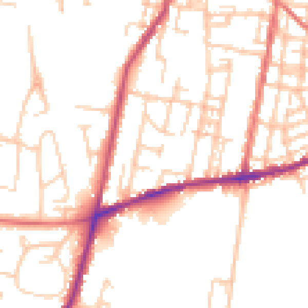
Daytime· 07:00 – 23:00
50.4dB

Night-time· 23:00 – 07:00
40.9dB