1 Avonside Way, Macclesfield, SK11 8BY
About 1 Avonside Way
1 Avonside Way is a semi-detached house in Macclesfield (SK11 8BY). It has a recorded floor area of 83 m² (around 896 sq ft), construction records dating it to 1976-1982 and council tax band D. The latest certificate (July 2009) shows an E (score 40), well below the UK norm with real room to improve. The recommended improvements would push it to D (score 61). The latest certificate is from July 2009, so improvements made since then won't be reflected.
At 83 m² the property is well over the postcode median (60 m² across 16 EPCs), placing it in the larger end of the local stock. It lags the bulk of the postcode on energy efficiency (less efficient than 81% of similar EPCs). Today's modelled estimate of £247,000 sits 13179.6% above the 2019 sale of £1,860. On a £-per-square-foot basis, the last sale (£2/sq ft) was about 99% below the postcode norm. Sold May 2019 for £1,860.
Everything you need to know about 1 Avonside Way
The true value, the hidden risks and the full sale history, in one report.
30-day money-back guarantee

The data behind every report


Energy performance
1 Avonside Way's carbon output runs well above what efficient homes in the postcode produce.
EPC Expired
This certificate is over 10 years old and is no longer valid.Expired 13 Jul 2019
EPC Rating
Planning history
1 Avonside Way has no planning applications on record.
Notable planning nearby
3applications of note in the surrounding area
Sales history & valuation
Latest sale on 1 Avonside Way was the lowest on Land Registry record across the postcode.
£247,000
Modelled from EPC, postcode comparables.
£1,860
Recorded with HM Land Registry.
Sales timeline
6 May 2019Most recent
£1,860
Median price across the last 5 sales in SK11 8BY: £207,000 (2025–2021).
Nearby sales in SK11 8BY
28 Avonside Way, Macclesfield, SK11 8BY
Sold Sept 2025
£200,00018 Avonside Way, Macclesfield, SK11 8BY
Sold Nov 2024
£265,00017a, Avonside Way, Macclesfield, SK11 8BY
Sold May 2024
£220,00017 Avonside Way, Macclesfield, SK11 8BY
Sold Sept 2023
£207,00034 Avonside Way, Macclesfield, SK11 8BY
Sold Apr 2021
£170,000
Versus other Avonside Way homes
Price per m² for 1 Avonside Way lags the street by a wide margin.
Price per m²
£22
Street avg £2,709
Floor Area
83 m²
Street avg 68 m²
Habitable Rooms
5 rooms
Street avg 4 rooms
CO₂ Emissions
7.7 t/year
Street avg 3.7 t/year
Everything you need to know about 1 Avonside Way
The true value, the hidden risks and the full sale history, in one report.
30-day money-back guarantee
The data behind every report
Similar properties nearby
1 Beeston Terrace
SK11 8TJ
1 Abingdon Close
SK11 8TT
1 Ambleside Close
SK11 8PY
1 Cambridge Road
SK11 8JL
1 Bishopton Drive
SK11 8TS
1 Baker Street
SK11 8EU
1 Birchinall Close
SK11 8QS
1 Barnard Close
SK11 8PH
The neighbourhood at a glance
Daytime road noise here sits well below conversation level — a quiet pocket of the postcode.
Crime
6/mo
Steady year-on-year across the wider district.
Nearest stop
0.2 km
Parkgate Road — bus stop.
Closest school
0.2 km
Ash Grove Academy. 16 schools nearby.
Go deeper on the local area
The full report breaks down crime, transport links, schools and air quality in depth.
Road noise across the postcode
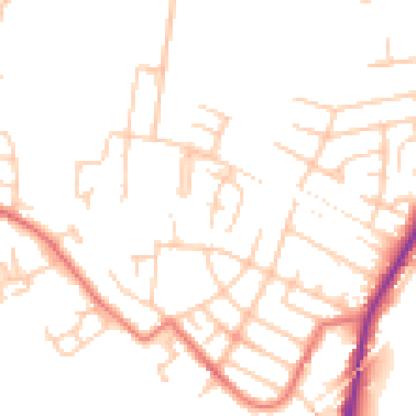
Daytime· 07:00 – 23:00
48.7dB

Night-time· 23:00 – 07:00
39.0dB