9 Brough Street West, Macclesfield, SK11 8EL
About 9 Brough Street West
9 Brough Street West is an end-of-terrace house in Macclesfield (SK11 8EL). It has a recorded floor area of 44 m² (around 474 sq ft), construction records dating it to before 1900 and council tax band A. The latest certificate (April 2021) shows a D (score 56), a step below the typical UK home. The rating has held steady at D across 2 certificates since February 2011. Between certificates, lighting went from Average to Good. The recommended improvements would lift it to B (score 86), a 2-band jump.
Sold December 2021 for £132,500. Across the public record there are 6 sales, relatively high churn for a single property. That sale was during the post-pandemic price surge, when transactions cleared materially above pre-2020 trend. Across 2006–2021, sale prices on this property compounded at 4.7% per year. Today's modelled estimate of £173,000 is 30.6% above the 2021 sale price. On a £-per-square-foot basis, the last sale (£280/sq ft) was about 137.2% above the typical sold price in the postcode. At 44 m² it's 25.4% smaller than the typical home in the postcode (59 m² median across 7 EPCs).
Everything you need to know about 9 Brough Street West
The true value, the hidden risks and the full sale history, in one report.
30-day money-back guarantee

The data behind every report


Energy performance
Recommended upgrades on file would lift this property by multiple EPC bands.
EPC Rating
Property Improvements
Changes detected from historical EPC data
More low energy lighting installed
Planning history
9 Brough Street West has no planning applications on record.
Notable planning nearby
3applications of note in the surrounding area
Sales history & valuation
Sale price has at least doubled since 2006.
£173,000
Modelled from EPC, postcode comparables and a sale-price growth of 4.7% per year over 16 years.
£132,500
Growth on file: 4.7% per year over 16 years.
Sales timeline
8 December 2021Most recent
£132,500
+39.5%over 5 years9 June 2016
£95,000
+26.7%over 2 years28 March 2014
£75,000
-17.6%over 2 years7 September 2011
£91,000
+13.8%over 4 years22 August 2007
£80,000
+23.1%over 1 year4 May 2006
£65,000
Median price across the last 5 sales in SK11 8EL: £132,000 (2025–2012).
Nearby sales in SK11 8EL
12 Brough Street West, Macclesfield, SK11 8EL
Sold Aug 2025
£230,00011 Brough Street West, Macclesfield, SK11 8EL
Sold Feb 2016
£103,50013 Brough Street West, Macclesfield, SK11 8EL
Sold Oct 2007
£122,5007 Brough Street West, Macclesfield, SK11 8EL
Sold Feb 2003
£68,00010 Brough Street West, Macclesfield, SK11 8EL
Sold Dec 2002
£119,950
Versus other Brough Street West homes
Floor Area for 9 Brough Street West lags the street by a wide margin.
Price per m²
£3,011
Street avg £1,832
Floor Area
44 m²
Street avg 57 m²
Habitable Rooms
3 rooms
Street avg 4 rooms
CO₂ Emissions
3.1 t/year
Street avg 2.7 t/year
Everything you need to know about 9 Brough Street West
The true value, the hidden risks and the full sale history, in one report.
30-day money-back guarantee
The data behind every report
Similar properties nearby
The neighbourhood at a glance
Crime
6/mo
Steady year-on-year across the wider district.
Nearest stop
0.3 km
Park Lane — bus stop.
Closest school
0.3 km
Parkroyal Community School. 19 schools nearby.
Go deeper on the local area
The full report breaks down crime, transport links, schools and air quality in depth.
Road noise across the postcode
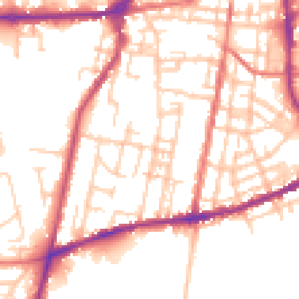
Daytime· 07:00 – 23:00
52.4dB

Night-time· 23:00 – 07:00
42.7dB