1 Armoury Court Mews, Macclesfield, SK11 8HQ
About 1 Armoury Court Mews
1 Armoury Court Mews is a one-bedroom mid-terrace house in Macclesfield (SK11 8HQ). It has a recorded floor area of 42 m² (around 452 sq ft), construction records dating it to 2003-2006 and council tax band A. The latest certificate (August 2018) shows a C (score 80), near the top of the C band. The recommended improvements would push it to B (score 82). Main heating runs on electricity.
Across 2002–2022, sale prices on this property compounded at 4% per year. Today's modelled estimate of £137,000 is 12.3% above the 2022 sale price. On a £-per-square-foot basis, the last sale (£270/sq ft) was about 35.1% above the typical sold price in the postcode. Sold July 2022 for £122,000. That sale was during the post-pandemic price surge, when transactions cleared materially above pre-2020 trend.
What this property has
Inside
- Bedrooms1
- Bathrooms1
Everything you need to know about 1 Armoury Court Mews
The true value, the hidden risks and the full sale history, in one report.
30-day money-back guarantee

The data behind every report


Energy performance
For a compact home of this size, this rating sits in the top tier locally.
EPC Rating
Planning history
1 Armoury Court Mews has no planning applications on record.
Notable planning nearby
3applications of note in the surrounding area
Sales history & valuation
Latest sale on 1 Armoury Court Mews was the highest on Land Registry record across the postcode.
£137,000
Modelled from EPC, postcode comparables and a sale-price growth of 4.0% per year over 20 years.
£122,000
Growth on file: 4.0% per year over 20 years.
Sales timeline
7 July 2022Most recent
£122,000
+28.1%over 3 years14 January 2019
£95,250
+70.1%over 16 years28 August 2002
£56,000
Median price across the last 5 sales in SK11 8HQ: £99,950 (2023–2020).
Nearby sales in SK11 8HQ
15 Armoury Court Mews, Macclesfield, SK11 8HQ
Sold Jul 2023
£105,00015a, Armoury Court Mews, Macclesfield, SK11 8HQ
Sold Jul 2022
£110,00017a, Armoury Court Mews, Macclesfield, SK11 8HQ
Sold Jul 2020
£99,95017 Armoury Court Mews, Macclesfield, SK11 8HQ
Sold Jun 2020
£93,0009a, Armoury Court Mews, Macclesfield, SK11 8HQ
Sold Jun 2020
£81,000
Versus other Armoury Court Mews homes
On price per m², 1 Armoury Court Mews stands well clear of the street.
Price per m²
£2,905
Street avg £2,250
Floor Area
42 m²
Street avg 39 m²
Habitable Rooms
2 rooms
Street avg 2 rooms
CO₂ Emissions
2.1 t/year
Street avg 2.7 t/year
Everything you need to know about 1 Armoury Court Mews
The true value, the hidden risks and the full sale history, in one report.
30-day money-back guarantee
The data behind every report
Similar properties nearby
The neighbourhood at a glance
Crime
6/mo
Steady year-on-year across the wider district.
Nearest stop
0.1 km
Macclesfield College — bus stop.
Closest school
0.3 km
Macclesfield College. 19 schools nearby.
Go deeper on the local area
The full report breaks down crime, transport links, schools and air quality in depth.
Road noise across the postcode
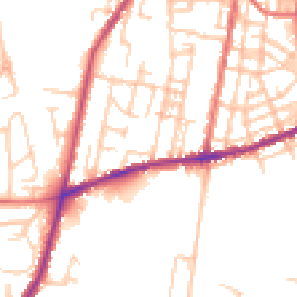
Daytime· 07:00 – 23:00
50.3dB

Night-time· 23:00 – 07:00
41.1dB