27 Banks Lane, Stockport, SK1 4JT
About 27 Banks Lane
27 Banks Lane is a two-bedroom property in Stockport (SK1 4JT). It has council tax band B.
Untraded for 20 years, with the last transfer in April 2006. Across 1998–2006, sale prices on this property compounded at 22.7% per year. One historical planning record sits against the property in 2000.
What this property has
Inside
- Bedrooms2
Everything you need to know about 27 Banks Lane
The true value, the hidden risks and the full sale history, in one report.
Pick your report · every report is £14.99
One time fee only - money back guarantee

The data behind every report


Energy performance
No EPC on record
This property doesn't have an Energy Performance Certificate yet. An EPC is required to sell or let — and unlocks our automated valuation.
Get a survey for this property
Level 2 HomeBuyer Report
We've checked 10 risk factors against the available data for this property and believe a Level 2 HomeBuyer Report could be a suitable option for you.
Planning history
1 application on record at 27 Banks Lane, Stockport, SK1 4JT
- Sept 2000FullOutcome in report
Proposed vehicular crossing
- Reference
- DC/001832
Unlock 27 Banks Lane, Stockport, SK1 4JT's full planning history
You're seeing the shape of it. The report has the substance.
- Every decision — granted, refused or withdrawn (1 on record)
- All 1 application on this property in full
- What the pattern means for extending or converting here
One time fee only - money back guarantee
Sales history & valuation
Price for 27 Banks Lane has grown more than fourfold since the 1998 starting point.
£119,950
Growth on file: 22.7% per year over 8 years.
Sales timeline
5 April 2006Most recent
£119,950
+185.6%over 7 years2 December 1998
£42,000
+68.0%6 August 1998
£25,000
Median price across the last 5 sales in SK1 4JT: £265,000 (2024–2022).
Everything you need to know about 27 Banks Lane
The true value, the hidden risks and the full sale history, in one report.
Pick your report · every report is £14.99
One time fee only - money back guarantee
The data behind every report
Similar properties nearby
1 Ellwood Road
SK1 4BD
1 Athens Street
SK1 4DX
1 Dalby Grove
SK1 4AE
1 Betnor Avenue
SK1 4BQ
1 Bishop Street
SK1 4AD
1 Courthill Street
SK1 4EA
1 Dona Street
SK1 4EJ
1 Curate Court, Curate Street
SK1 4AF
The neighbourhood at a glance
Crime
1/mo
Steady year-on-year across the wider district.
Nearest stop
0.1 km
Harold Street — bus stop.
Closest school
0.3 km
Banks Lane Infant School. 36 schools nearby.
Go deeper on the local area
A Local Area report breaks down crime, transport links, schools and air quality in depth.
Road noise across the postcode
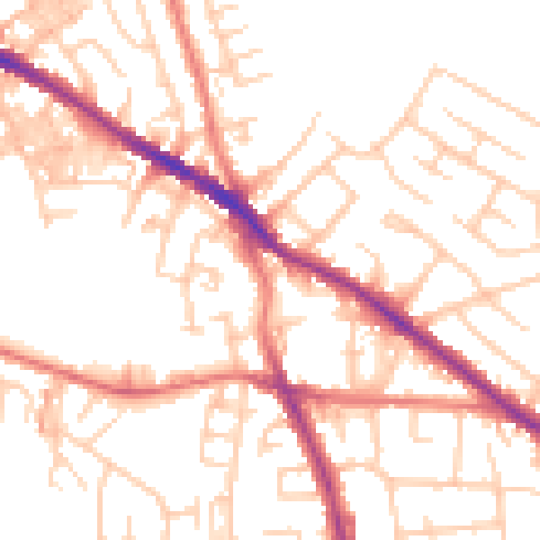
Daytime· 07:00 – 23:00
52.2dB

Night-time· 23:00 – 07:00
41.2dB