14 Banks Lane, Stockport, SK1 4JT
About 14 Banks Lane
14 Banks Lane is a two-bedroom property in Stockport (SK1 4JT). It has council tax band B. Other recorded features include a basement.
Sold August 2018 for £147,500. Across the public record there are 4 sales, relatively high churn for a single property. Across 2000–2018, sale prices on this property compounded at 6.5% per year.
What this property has
Inside
- Bedrooms2
- Dining roomYes
- BasementYes
Outside
- Private gardenRear
Building
- Heating systemGas
- RefurbishedYes
Everything you need to know about 14 Banks Lane
The true value, the hidden risks and the full sale history, in one report.
Pick your report · every report is £14.99
One time fee only - money back guarantee

The data behind every report


Energy performance
No EPC on record
This property doesn't have an Energy Performance Certificate yet. An EPC is required to sell or let — and unlocks our automated valuation.
Get a survey for this property
Level 2 HomeBuyer Report
We've checked 10 risk factors against the available data for this property and believe a Level 2 HomeBuyer Report could be a suitable option for you.
Planning history
14 Banks Lane has no planning applications on record.
A planning report still maps activity across the surrounding area and reads this property's extension & conversion potential.
Sales history & valuation
Sale price has grown by over 3x since 2000.
£147,500
Growth on file: 6.5% per year over 18 years.
Sales timeline
16 August 2018Most recent
£147,500
+16.1%over 14 years8 October 2003
£127,000
+47.8%over 2 years31 May 2001
£85,950
+82.9%over 1 year11 May 2000
£47,000
Median price across the last 5 sales in SK1 4JT: £265,000 (2024–2022).
Everything you need to know about 14 Banks Lane
The true value, the hidden risks and the full sale history, in one report.
Pick your report · every report is £14.99
One time fee only - money back guarantee
The data behind every report
Similar properties nearby
1 Athens Street
SK1 4DX
1 Dalby Grove
SK1 4AE
1 Ellwood Road
SK1 4BD
1 Betnor Avenue
SK1 4BQ
1 Bishop Street
SK1 4AD
1 Courthill Street
SK1 4EA
1 Dona Street
SK1 4EJ
1 Curate Court, Curate Street
SK1 4AF
The neighbourhood at a glance
Crime
1/mo
Steady year-on-year across the wider district.
Nearest stop
0.1 km
Harold Street — bus stop.
Closest school
0.3 km
Banks Lane Infant School. 36 schools nearby.
Go deeper on the local area
A Local Area report breaks down crime, transport links, schools and air quality in depth.
Road noise across the postcode
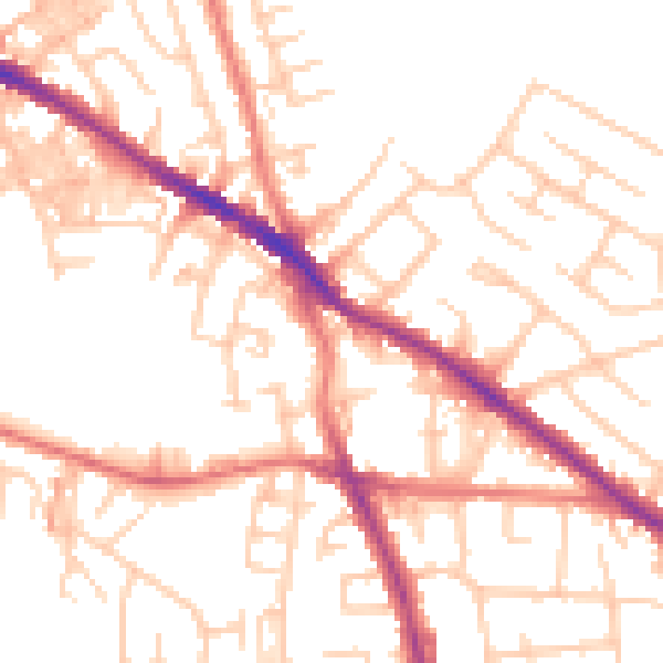
Daytime· 07:00 – 23:00
52.2dB

Night-time· 23:00 – 07:00
41.2dB