18 Kimmeridge Road, Bromley, London, SE9 4LD
About 18 Kimmeridge Road
18 Kimmeridge Road is a three-bedroom mid-terrace house in Bromley, London, London (SE9 4LD). It has a recorded floor area of 67 m² (around 721 sq ft), construction records dating it to 1930-1949 and council tax band C. The latest certificate (March 2021) shows a D (score 64), on the cusp of jumping into the C band. The rating has held steady at D across 3 certificates since September 2012. Between certificates, lighting went from Very Poor to Good; while roof efficiency dropped from Average to Very Poor. The recommended improvements would lift it to B (score 81), a 2-band jump.
3 planning records sit against the property, 2 approved, 0 refused. Past consents include an extension, meaningful when judging how the property has evolved. Across 2013–2021, sale prices on this property compounded at 7.1% per year. Today's modelled estimate of £394,000 is 19.4% above the 2021 sale price. On a £-per-square-foot basis, the last sale (£458/sq ft) was about 82.2% above the typical sold price in the postcode. Sold May 2021 for £330,000. That sale was during the post-pandemic price surge, when transactions cleared materially above pre-2020 trend.
What this property has
Inside
- Bedrooms3
Everything you need to know about 18 Kimmeridge Road
The true value, the hidden risks and the full sale history, in one report.
30-day money-back guarantee

The data behind every report


Energy performance
Recommended upgrades on file would lift this property by multiple EPC bands.
EPC Rating
Property Improvements
Changes detected from historical EPC data
Window efficiency improved
More low energy lighting installed
Planning history
18 Kimmeridge Road has been extended on multiple sides of the property across separate planning applications.
- Jun 2022ExtensionFullIn report
Extension: Single storey · Front of property
Single storey front extension
- Agent
- The Harvest Partnership
- Documents
- 8 docs on file
- Reference
- 22/00685/FULL6
- Jun 2022Loft ConversionOutlineIn report
Extension: Single storey · Rear of property
Formation of rooms in roof space with the formation of rear dormer, installation of Velux rooflights to the front elevation and single storey rear extension.LAWFUL DEVELOPMENT CERTIFICATE (PROPOSED)
- Agent
- The Harvest Partnership
Extension- Documents
- 8 docs on file
- Reference
- 22/00689/PLUD
We flagged 2 things worth checking at 18 Kimmeridge Road
Independent checks surfaced things a buyer would want to understand before offering. The report explains each one in full, with the underlying data and what to ask.
- Signs of HMO activity in the area
- Larger development activity nearby
30-day money-back guarantee
Sales history & valuation
The latest sale landed in the post-pandemic price surge — useful context when reading the figure.
£394,000
Modelled from EPC, postcode comparables and a sale-price growth of 7.1% per year over 8 years.
£330,000
Growth on file: 7.1% per year over 8 years.
Sales timeline
24 May 2021Most recent
£330,000
+76.5%over 8 years8 February 2013
£187,000
Median price across the last 5 sales in SE9 4LD: £350,000 (2025–2017).
Nearby sales in SE9 4LD
23 Kimmeridge Road, Bromley, London, SE9 4LD
Sold Nov 2025
£400,00030 Kimmeridge Road, Bromley, London, SE9 4LD
Sold Apr 2022
£400,00027 Kimmeridge Road, Bromley, London, SE9 4LD
Sold Feb 2020
£318,00040 Kimmeridge Road, Bromley, London, SE9 4LD
Sold Jul 2018
£350,0006 Kimmeridge Road, Bromley, London, SE9 4LD
Sold Jul 2016
£326,000
Versus other Kimmeridge Road homes
On price per m², 18 Kimmeridge Road stands well clear of the street.
Price per m²
£4,925
Street avg £3,170
Floor Area
67 m²
Street avg 74 m²
Habitable Rooms
4 rooms
Street avg 4 rooms
CO₂ Emissions
3.0 t/year
Street avg 3.2 t/year
Everything you need to know about 18 Kimmeridge Road
The true value, the hidden risks and the full sale history, in one report.
30-day money-back guarantee
The data behind every report
Similar properties nearby
1 Bentfield Gardens, Lewisham
SE9 4PN
1 Dittisham Road, Bromley
SE9 4BJ
1 Blanchard Close, Bromley
SE9 4TZ
1 Cattistock Road, Bromley
SE9 4AW
1 Duddington Close, Bromley
SE9 4JD
1 Carters Hill Close, Bromley
SE9 4RS
1 Aldersgrove Avenue, Lewisham
SE9 4PW
1 Charlesfield, Lewisham
SE9 4NX
The neighbourhood at a glance
Reported crime in the wider district is trending notably upward year-on-year.
Crime
6/mo
Rising year-on-year across the wider district.
Nearest stop
0.3 km
Beaconsfield Road (SE9) — bus stop.
Closest school
0.2 km
St Vincent's Catholic Primary School. 36 schools nearby.
Go deeper on the local area
The full report breaks down crime, transport links, schools and air quality in depth.
Road noise across the postcode
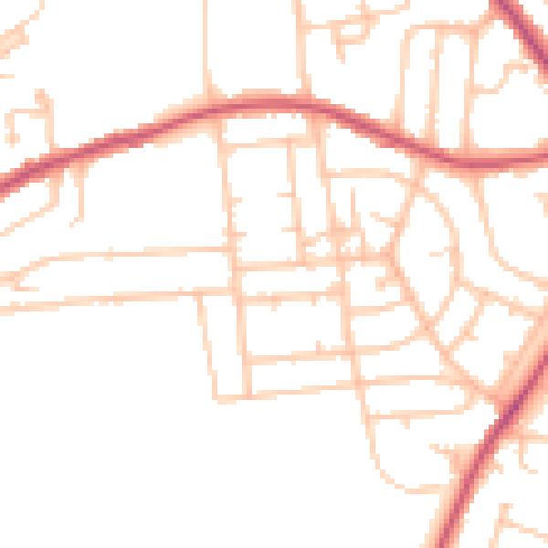
Daytime· 07:00 – 23:00
48.3dB

Night-time· 23:00 – 07:00
38.0dB