1 Kersey Gardens, Bromley, London, SE9 4JX
About 1 Kersey Gardens
1 Kersey Gardens is an end-of-terrace house in Bromley, London, London (SE9 4JX). It has a recorded floor area of 80 m² (around 861 sq ft), construction records dating it to 1930-1949 and council tax band C. The latest certificate (August 2025) shows a D (score 64), on the cusp of jumping into the C band. The recommended improvements would push it to C (score 76).
At 80 m² the property is well over the postcode median (56 m² across 13 EPCs), placing it in the larger end of the local stock. 2 planning records sit against the property, 0 approved, 2 refused.
Everything you need to know about 1 Kersey Gardens
The true value, the hidden risks and the full sale history, in one report.
30-day money-back guarantee

The data behind every report


Energy performance
EPC Rating
Planning history
1 Kersey Gardens has 2 separate extension applications on the council record.
- Jul 2005ExtensionFullIn report
Extension: Single storey · Rear of property
Single storey rear extension
- Documents
- 6 docs on file
- Reference
- 05/01650/FULL6
- Aug 2004ExtensionFullIn report
Extension: Single storey · Rear of property
Single storey rear extension
- Documents
- 4 docs on file
- Reference
- 04/02688/FULL6
We flagged 2 things worth checking at 1 Kersey Gardens
Independent checks surfaced things a buyer would want to understand before offering. The report explains each one in full, with the underlying data and what to ask.
- Signs of HMO activity in the area
- Larger development activity nearby
30-day money-back guarantee
Sales history & valuation
1 Kersey Gardens has no Land Registry sales on file, suggesting it has stayed in the same hands since registration began.
£428,000
Modelled from EPC, postcode comparables.
No sales recorded with HM Land Registry
That can mean the property has never traded since the registry began publishing in 1995, was a new build that hasn't been registered yet, or is held in the same hands long-term.
Median price across the last 5 sales in SE9 4JX: £199,995 (2022–2007).
Versus other Kersey Gardens homes
1 Kersey Gardens outperforms the street on floor area by a wide margin.
EPC Rating
64 (D)
Street avg 65 (D)
Floor Area
80 m²
Street avg 62 m²
CO₂ Emissions
3.2 t/year
Street avg 2.6 t/year
Habitable Rooms
5 rooms
Street avg 3 rooms
Everything you need to know about 1 Kersey Gardens
The true value, the hidden risks and the full sale history, in one report.
30-day money-back guarantee
The data behind every report
Similar properties nearby
1 Blanchard Close, Bromley
SE9 4TZ
1 Duddington Close, Bromley
SE9 4JD
1 Cattistock Road, Bromley
SE9 4AW
1 Dittisham Road, Bromley
SE9 4BJ
1 Bentfield Gardens, Lewisham
SE9 4PN
1 Ballantyne Close, Bromley
SE9 4EH
1 Carters Hill Close, Bromley
SE9 4RS
1 Dunkery Road, Lewisham
SE9 4HX
The neighbourhood at a glance
Reported crime in the wider district is trending notably upward year-on-year.
Crime
6/mo
Rising year-on-year across the wider district.
Nearest stop
0.3 km
Beaconsfield Road (SE9) — bus stop.
Closest school
0.1 km
St Vincent's Catholic Primary School. 35 schools nearby.
Go deeper on the local area
The full report breaks down crime, transport links, schools and air quality in depth.
Road noise across the postcode
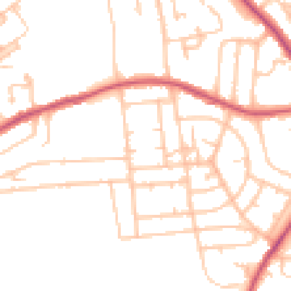
Daytime· 07:00 – 23:00
48.7dB

Night-time· 23:00 – 07:00
38.2dB