39 Elmhurst Road, Bromley, London, SE9 4DW
About 39 Elmhurst Road
39 Elmhurst Road is a four-bedroom semi-detached house in Bromley, London, London (SE9 4DW). It has a recorded floor area of 147 m² (around 1582 sq ft), construction records dating it to 1900-1929 and council tax band E. The latest certificate (August 2025) shows a C (score 72). When first surveyed in July 2010 the rating was E, the property has climbed 2 bands since. Between certificates, wall efficiency went from Very Poor to Poor and lighting went from Poor to Good; while roof efficiency dropped from Average to Poor. Records show the property has been extended at some point in its history.
At 147 m² the property is well over the postcode median (109 m² across 9 EPCs), placing it in the larger end of the local stock. Its energy rating outperforms most of the postcode (better than 89% of similar EPCs). Most recent transfer: July 2020 at £540,000. Across the public record there are 4 sales, relatively high churn for a single property. One planning record on file: an extension approved in 2017. Past consents include an extension, meaningful when judging how the property has evolved. Across 1998–2020, sale prices on this property compounded at 7.6% per year. Today's modelled estimate of £750,000 is 38.9% above the 2020 sale price. On a £-per-square-foot basis, the last sale (£341/sq ft) was about 38.1% above the typical sold price in the postcode.
What this property has
Inside
- Bedrooms4
- Bathrooms2
- Dining roomYes
- CloakroomYes
- EnsuiteYes
Outside
- Private gardenSouth-facing
- ParkingOff street
Building
- Previously extendedYes
Everything you need to know about 39 Elmhurst Road
The true value, the hidden risks and the full sale history, in one report.
30-day money-back guarantee

The data behind every report


Energy performance
EPC Rating
Property Improvements
Changes detected from historical EPC data
Heating controls changed
Windows upgraded, improving insulation
Roof insulation improved
More low energy lighting installed
Heating controls upgraded for better temperature management
Wall insulation improved
Loft insulation upgraded to recommended levels
More low energy lighting installed
Planning history
39 Elmhurst Road has an approved single-storey extension on the planning record.
- May 2017ExtensionFullIn report
Extension: Single storey
Single storey front/side extension.
- Agent
- A2 Architecture & Design Ltd
- Documents
- 7 docs on file
- Reference
- 17/00905/FULL6
We flagged 2 things worth checking at 39 Elmhurst Road
Independent checks surfaced things a buyer would want to understand before offering. The report explains each one in full, with the underlying data and what to ask.
- Signs of HMO activity in the area
- Larger development activity nearby
30-day money-back guarantee
Sales history & valuation
39 Elmhurst Road has more than quadrupled in price since its earliest registered sale in 1998.
£750,000
Modelled from EPC, postcode comparables and a sale-price growth of 7.6% per year over 22 years.
£540,000
Growth on file: 7.6% per year over 22 years.
Sales timeline
23 July 2020Most recent
£540,000
+80.0%over 9 years18 January 2011
£300,000
+15.4%over 5 years18 November 2005
£260,000
+147.6%over 7 years27 February 1998
£105,000
Median price across the last 5 sales in SE9 4DW: £590,000 (2025–2019).
Nearby sales in SE9 4DW
37 Elmhurst Road, Bromley, London, SE9 4DW
Sold Nov 2025
£645,00041 Elmhurst Road, Bromley, London, SE9 4DW
Sold Sept 2025
£590,00017 Elmhurst Road, Bromley, London, SE9 4DW
Sold Aug 2025
£542,00015 Elmhurst Road, Bromley, London, SE9 4DW
Sold Jun 2021
£600,00047 Elmhurst Road, Bromley, London, SE9 4DW
Sold Oct 2019
£480,000
Versus other Elmhurst Road homes
EPC Rating for 39 Elmhurst Road runs comfortably ahead of the street norm.
Price per m²
£3,673
Street avg £4,326
Floor Area
147 m²
Street avg 109 m²
Habitable Rooms
7 rooms
Street avg 5 rooms
CO₂ Emissions
3.9 t/year
Street avg 5.7 t/year
Everything you need to know about 39 Elmhurst Road
The true value, the hidden risks and the full sale history, in one report.
30-day money-back guarantee
The data behind every report
Similar properties nearby
1 Beaconsfield Road, Bromley
SE9 4DJ
1 Avondale Road, Bromley
SE9 4SN
1 Elmhurst Road, Bromley
SE9 4DW
1 Cattistock Road, Bromley
SE9 4AW
1 Blanchard Close, Bromley
SE9 4TZ
1 Dittisham Road, Bromley
SE9 4BJ
1 Bentfield Gardens, Lewisham
SE9 4PN
1 Duddington Close, Bromley
SE9 4JD
The neighbourhood at a glance
Rail-style transport is unusually close for this postcode.
Crime
6/mo
Rising year-on-year across the wider district.
Nearest stop
0.3 km
Mottingham / Prince Of Wales — bus stop.
Closest school
0.5 km
St Vincent's Catholic Primary School. 35 schools nearby.
Go deeper on the local area
The full report breaks down crime, transport links, schools and air quality in depth.
Road noise across the postcode
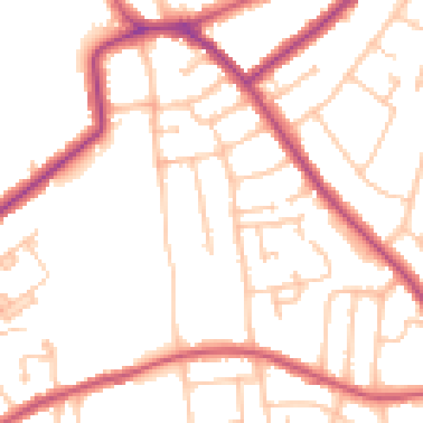
Daytime· 07:00 – 23:00
50.9dB

Night-time· 23:00 – 07:00
40.9dB