2 Belham Walk, Southwark, London, SE5 7DX
About 2 Belham Walk
2 Belham Walk is a mid-terrace house in Southwark, London, London (SE5 7DX). It has a recorded floor area of 49 m² (around 527 sq ft), construction records dating it to 1967-1975 and council tax band B. At 49 m² this is the 4th smallest of 39 units on EPC record in the building, where floor areas span 45–97 m². The building's EPC ratings span D to C, with this unit at the top. The latest certificate (April 2014) shows a C (score 75), near the top of the C band. When first surveyed in May 2010 the rating was E, the property has climbed 2 bands since. Between certificates, wall efficiency went from Average to Good. The latest certificate is from April 2014, so improvements made since then won't be reflected.
Know exactly what you're buying at 2 Belham Walk
Before you offer, see what the listing won't tell you, the true value, the red flags and the full history.
Already flagged here
Valuation
against the asking price
Risks
planning & flood
Sold prices
similar homes nearby
Trends
the local market
Energy performance
2 Belham Walk's EPC is over a decade old — improvements since won't be reflected.
EPC Expired
This certificate is over 10 years old and is no longer valid.Expired 16 Apr 2024
EPC Rating
Property Improvements
Changes detected from historical EPC data
Changed to a more efficient fuel source
Hot water system upgraded
Wall insulation upgraded
Planning history
2 Belham Walk has no planning applications on record.
Notable planning nearby
8applications of note in the surrounding area
We flagged 1 thing worth checking at 2 Belham Walk
Independent checks surfaced things a buyer would want to understand before offering. The report explains each one in full, with the underlying data and what to ask.
- Larger development activity nearby
30-day money-back guarantee
Sales history & valuation
2 Belham Walk has no Land Registry sales on file, suggesting it has stayed in the same hands since registration began.
£272,000
Modelled from EPC, postcode comparables.
No sales recorded with HM Land Registry
That can mean the property has never traded since the registry began publishing in 1995, was a new build that hasn't been registered yet, or is held in the same hands long-term.
Median price across the last 5 sales in SE5 7DX: £320,000 (2025–2019).
Nearby sales in SE5 7DX
39 Belham Walk, Southwark, London, SE5 7DX
Sold May 2025
£330,00024 Belham Walk, Southwark, London, SE5 7DX
Sold Mar 2024
£305,00035 Belham Walk, Southwark, London, SE5 7DX
Sold Apr 2023
£463,50029 Belham Walk, Southwark, London, SE5 7DX
Sold Sept 2021
£300,00022 Belham Walk, Southwark, London, SE5 7DX
Sold Jun 2019
£320,000
Everything we know about 2 Belham Walk, in one report
What it's really worth, what could be wrong, and the planning, sales and area data in full.
What we flagged
- Larger development activity nearby

Versus other Belham Walk homes
EPC Rating
75 (C)
Street avg 72 (C)
Floor Area
49 m²
Street avg 55 m²
CO₂ Emissions
1.6 t/year
Street avg 2.0 t/year
Habitable Rooms
2 rooms
Street avg 3 rooms
Similar properties nearby
1 Belham Walk, Southwark
SE5 7DX
1 Mary Datchelor Close, Southwark
SE5 7AX
1 Kimpton Road, Southwark
SE5 7EA
1 Marchwood Close, Southwark
SE5 7HD
1 Hopewell Street, Southwark
SE5 7QS
1 Chester Court, Lomond Grove, Southwark
SE5 7HS
1 Cottage Green, Southwark
SE5 7ST
1 Caspian Street, Southwark
SE5 7NG
The neighbourhood at a glance
Rail-style transport is unusually close for this postcode.
Crime
13/mo
Rising year-on-year across the wider district.
Nearest stop
0.2 km
St Giles Church — bus stop.
Closest school
0.4 km
Brunswick Park Primary School. 100 schools nearby.
Go deeper on the local area
The full report breaks down crime, transport links, schools and air quality in depth.
Road noise across the postcode
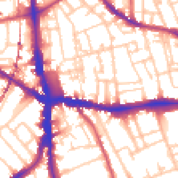
Daytime· 07:00 – 23:00
56.1dB

Night-time· 23:00 – 07:00
46.0dB