39 Couthurst Road, Greenwich, London, SE3 8TN
About 39 Couthurst Road
39 Couthurst Road is a two-bedroom mid-terrace house in Greenwich, London, London (SE3 8TN). It has a recorded floor area of 79 m² (around 850 sq ft), construction records dating it to 1900-1929 and council tax band D. It is a listed building, which means external alterations are tightly controlled but it may qualify for heritage tax reliefs. Records show the property has been extended at some point in its history. The latest certificate (May 2015) shows a D (score 62), on the cusp of jumping into the C band. The recommended improvements would lift it to B (score 82), a 2-band jump. The latest certificate is from May 2015, so improvements made since then won't be reflected.
One planning record on file: an extension approved in 2019. Past consents include an extension and new windows, meaningful when judging how the property has evolved. Across 2015–2023, sale prices on this property compounded at 3% per year. On a £-per-square-foot basis, the last sale (£706/sq ft) was about 81.3% above the typical sold price in the postcode. Last sale on file: £600,000 in August 2023.
Know exactly what you're buying at 39 Couthurst Road
Before you offer, see what the listing won't tell you, the true value, the red flags and the full history.
Already flagged here
Valuation
against the asking price
Risks
planning & flood
Sold prices
similar homes nearby
Trends
the local market
What this property has
Inside
- Bedrooms2
- Bathrooms1
Building
- Listed buildingYes
- Previously extendedYes
Energy performance
Recommended upgrades on file would lift this property by multiple EPC bands.
EPC Expired
This certificate is over 10 years old and is no longer valid.Expired 13 May 2025
EPC Rating
Planning history
39 Couthurst Road has an approved single-storey rear extension on the planning record.
- Aug 2019ExtensionFullIn report
Extension: Single storey · Rear of property
Construction of single storey rear extension and installation of new first floor rear windows.
- Agent
- Fairman Trevor
New Windows- Documents
- 10 docs on file
- Reference
- 19/1957/HD
We flagged 1 thing worth checking at 39 Couthurst Road
Independent checks surfaced things a buyer would want to understand before offering. The report explains each one in full, with the underlying data and what to ask.
- Signs of HMO activity in the area
30-day money-back guarantee
Sales history & valuation
39 Couthurst Road valuation sits well clear of the typical sold price in this postcode.
£613,000
Modelled from EPC, postcode comparables and a sale-price growth of 3.0% per year over 8 years.
£600,000
Growth on file: 3.0% per year over 8 years.
Sales timeline
21 August 2023Most recent
£600,000
+25.5%over 7 years12 November 2015
£478,000
Median price across the last 5 sales in SE3 8TN: £631,500 (2025–2022).
Nearby sales in SE3 8TN
23 Couthurst Road, Greenwich, London, SE3 8TN
Sold Oct 2025
£658,0001 Couthurst Road, Greenwich, London, SE3 8TN
Sold Jul 2025
£615,0003 Couthurst Road, Greenwich, London, SE3 8TN
Sold Jun 2022
£675,00027 Couthurst Road, Greenwich, London, SE3 8TN
Sold Feb 2022
£631,50047 Couthurst Road, Greenwich, London, SE3 8TN
Sold Feb 2022
£535,000
Everything we know about 39 Couthurst Road, in one report
What it's really worth, what could be wrong, and the planning, sales and area data in full.
What we flagged
- Signs of HMO activity in the area

Versus other Couthurst Road homes
Years Held for 39 Couthurst Road lags the street by a wide margin.
Price per m²
£7,595
Street avg £5,996
Floor Area
79 m²
Street avg 80 m²
Habitable Rooms
4 rooms
Street avg 4 rooms
CO₂ Emissions
3.5 t/year
Street avg 3.6 t/year
Similar properties nearby
1 Couthurst Road, Greenwich
SE3 8TN
1 Furzefield Road, Greenwich
SE3 8TU
1 Bournbrook Road, Greenwich
SE3 8JR
1 Harraden Road, Greenwich
SE3 8BZ
1 De Havilland Terrace, Old Dover Road, Greenwich
SE3 8SU
1 Chichester Close, Greenwich
SE3 8SD
1 Broad Walk, Greenwich
SE3 8NA
1 Brunswick Terrace, Banchory Road, Greenwich
SE3 8AL
The neighbourhood at a glance
Reported crime in the wider district is trending notably upward year-on-year.
Crime
10/mo
Rising year-on-year across the wider district.
Nearest stop
0.1 km
Wyndcliff Road — bus stop.
Closest school
0.2 km
Sherington Primary School. 54 schools nearby.
Go deeper on the local area
The full report breaks down crime, transport links, schools and air quality in depth.
Road noise across the postcode
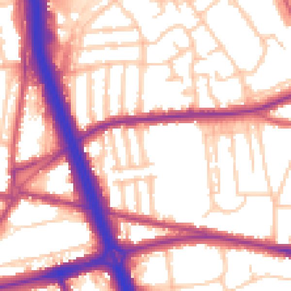
Daytime· 07:00 – 23:00
56.4dB
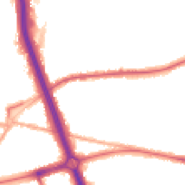
Night-time· 23:00 – 07:00
47.5dB