2a, Camrose Street, Greenwich, London, SE2 0HZ
About 2a
2a is an end-of-terrace house in Greenwich, London, London (SE2 0HZ). It has a recorded floor area of 102 m² (around 1098 sq ft), construction records dating it to 1900-1929 and council tax band B. The latest certificate (February 2013) shows an E (score 52), well below the UK norm with real room to improve. The recommended improvements would lift it to B (score 84), a 3-band jump. The latest certificate is from February 2013, so improvements made since then won't be reflected.
Untraded for 25 years, with the last transfer in September 2001. Today's modelled estimate of £490,000 sits 145% above the 2001 sale of £200,000. On a £-per-square-foot basis, the last sale (£182/sq ft) was about 47.5% above the typical sold price in the postcode. It lags the bulk of the postcode on energy efficiency (less efficient than 84% of similar EPCs).
Everything you need to know about 2a
The true value, the hidden risks and the full sale history, in one report.
Pick your report · every report is £14.99
One time fee only - money back guarantee

The data behind every report


Energy performance
Recommended upgrades on file would lift this property by multiple EPC bands.
EPC Expired
This certificate is over 10 years old and is no longer valid.Expired 03 Feb 2023
EPC Rating
Get a survey for this property
Level 3 Building Survey
Because the property was built before 1919 and has solid (non-cavity) walls, we believe a Level 3 building survey should be considered.
From £1,020 · Includes VAT
Planning history
2a has no planning applications on record.
But the area is active
44 notable applications nearby — larger schemes and conversions that could reshape the street. The report maps them all.
Sales history & valuation
2a valuation sits well clear of the typical sold price in this postcode.
£490,000
Modelled from EPC, postcode comparables.
£200,000
Recorded with HM Land Registry.
Sales timeline
12 September 2001Most recent
£200,000
Median price across the last 5 sales in SE2 0HZ: £350,000 (2024–2010).
Nearby sales in SE2 0HZ
29 Camrose Street, Greenwich, London, SE2 0HZ
Sold Jun 2024
£350,00010 Camrose Street, Greenwich, London, SE2 0HZ
Sold Feb 2021
£365,00021 Camrose Street, Greenwich, London, SE2 0HZ
Sold Sept 2012
£218,0004 Camrose Street, Greenwich, London, SE2 0HZ
Sold May 2010
£170,00023 Camrose Street, Greenwich, London, SE2 0HZ
Sold Jul 2007
£230,000
Versus other Camrose Street homes
2a is notably below the street on epc rating.
Price per m²
£1,961
Street avg £2,037
Floor Area
102 m²
Street avg 109 m²
Habitable Rooms
6 rooms
Street avg 5 rooms
CO₂ Emissions
5.7 t/year
Street avg 4.5 t/year
Everything you need to know about 2a
The true value, the hidden risks and the full sale history, in one report.
Pick your report · every report is £14.99
One time fee only - money back guarantee
The data behind every report
Similar properties nearby
1 Federation Road, Greenwich
SE2 0JT
1 Greening Street, Greenwich
SE2 0LX
1 Bendmore Avenue, Greenwich
SE2 0EY
1 Glendown Road, Greenwich
SE2 0RJ
1 Glenview, Bexley
SE2 0SD
1 Bastion Road, Greenwich
SE2 0RD
1 Cassilda Road, Greenwich
SE2 0ES
1 Bostall Lane, Greenwich
SE2 0NH
The neighbourhood at a glance
Reported crime in the wider district is trending notably upward year-on-year.
Crime
7/mo
Rising year-on-year across the wider district.
Nearest stop
0.1 km
Bannockburn School — bus stop.
Closest school
0.5 km
Bannockburn Primary School. 53 schools nearby.
Go deeper on the local area
A Local Area report breaks down crime, transport links, schools and air quality in depth.
Road noise across the postcode
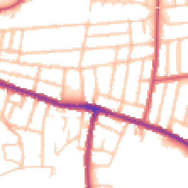
Daytime· 07:00 – 23:00
51.9dB
Night-time· 23:00 – 07:00
42.1dB