6 Bayley Walk, Bexley, London, SE2 0DL
About 6 Bayley Walk
6 Bayley Walk is a property in Bexley, London, London (SE2 0DL). It has council tax band D.
It hasn't traded since October 1995, a hold of 31 years that's notably long for the area. Only one transfer is on record with HM Land Registry, suggesting it has stayed in the same hands for a long time. One planning record on file: an extension approved in 2008. Past consents include an extension and a conservatory, meaningful when judging how the property has evolved.
Everything you need to know about 6 Bayley Walk
The true value, the hidden risks and the full sale history, in one report.
Pick your report · every report is £14.99
One time fee only - money back guarantee

The data behind every report


Energy performance
No EPC on record
This property doesn't have an Energy Performance Certificate yet. An EPC is required to sell or let — and unlocks our automated valuation.
Get a survey for this property
Level 2 HomeBuyer Report
We've checked 10 risk factors against the available data for this property and believe a Level 2 HomeBuyer Report could be a suitable option for you.
Planning history
6 Bayley Walk has an approved extension on the planning record.
1 application on record at 6 Bayley Walk, Bexley, London, SE2 0DL
- Apr 2008ConservatoryFullOutcome in report
Conservatory.
Extension- Documents
- 6 docs on file
- Reference
- 08/02670/FUL
Unlock 6 Bayley Walk, Bexley, London, SE2 0DL's full planning history
You're seeing the shape of it. The report has the substance.
- Every decision — granted, refused or withdrawn (1 on record)
- All 1 application on this property in full, plus 44 notable nearby
- The 6 documents, officer reports & conditions
- What the pattern means for extending or converting here
One time fee only - money back guarantee
Sales history & valuation
6 Bayley Walk has been held in the same hands since before 2000.
£72,000
Recorded with HM Land Registry.
Sales timeline
3 October 1995Most recent
£72,000
Median price across the last 5 sales in SE2 0DL: £360,000 (2024–2013).
Nearby sales in SE2 0DL
Everything you need to know about 6 Bayley Walk
The true value, the hidden risks and the full sale history, in one report.
Pick your report · every report is £14.99
One time fee only - money back guarantee
The data behind every report
Similar properties nearby
1 Alexander Terrace, Fuchsia Street, Greenwich
SE2 0TJ
1 Bastion Road, Greenwich
SE2 0RD
1 Bayley Walk, Bexley
SE2 0DL
1 Bendmore Avenue, Greenwich
SE2 0EY
1 Bevan Road, Greenwich
SE2 0UT
1 Bostall Lane, Greenwich
SE2 0NH
1 Brodrick Grove, Greenwich
SE2 0SR
1 Camrose Street, Greenwich
SE2 0HZ
The neighbourhood at a glance
Reported crime in the wider district is trending notably upward year-on-year.
Crime
7/mo
Rising year-on-year across the wider district.
Nearest stop
0.1 km
Woolwich Road / Bedonwell Road — bus stop.
Closest school
0.3 km
Bedonwell Infant and Nursery School. 48 schools nearby.
Go deeper on the local area
A Local Area report breaks down crime, transport links, schools and air quality in depth.
Road noise across the postcode
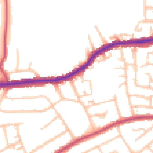
Daytime· 07:00 – 23:00
50.1dB

Night-time· 23:00 – 07:00
39.7dB