136 Plumstead Road, Greenwich, London, SE18 7DY
About 136 Plumstead Road
136 Plumstead Road is an end-of-terrace house in Greenwich, London, London (SE18 7DY). It has a recorded floor area of 40 m² (around 431 sq ft) and construction records dating it to 1930-1949. At 40 m² this is the 4th smallest of 15 units on EPC record in the building, where floor areas span 28–54 m². The building's EPC ratings span G to C across 15 units on file. The latest certificate (November 2022) shows a D (score 57), a step below the typical UK home. The recommended improvements would push it to C (score 73).
3 planning records sit against the property, 1 approved, 2 refused. Past consents include an extension and subdivision, meaningful when judging how the property has evolved.
Everything you need to know about 136 Plumstead Road
The true value, the hidden risks and the full sale history, in one report.
Pick your report · every report is £14.99
One time fee only - money back guarantee

The data behind every report


Energy performance
EPC Rating
Get a survey for this property
Level 3 Building Survey
Because the property has solid (non-cavity) walls, we believe a Level 3 building survey should be considered.
From £885 · Includes VAT
Planning history
Council records show a subdivision application — the property's legal arrangement has been altered.
3 applications on record at 136 Plumstead Road, Greenwich, London, SE18 7DY
- Jul 2019SubdivisionFullOutcome in report
Extension above existing 2-storey building to create an additional level and replacement of existing garage with 3-storey structure in conjunction with the creation of five self-contained residential flats.
Extension- Documents
- 9 docs on file
- Reference
- 19/1574/F
- More recent applications — locked
- SubdivisionMar 2023Decision
- SubdivisionAug 2020Decision
Unlock 136 Plumstead Road, Greenwich, London, SE18 7DY's full planning history
You're seeing the shape of it. The report has the substance.
- Every decision — granted, refused or withdrawn (3 on record)
- All 3 applications on this property in full, plus 59 notable nearby
- The 44 documents, officer reports & conditions
- What the pattern means for extending or converting here
One time fee only - money back guarantee
Sales history & valuation
136 Plumstead Road has no Land Registry sales on file, suggesting it has stayed in the same hands since registration began.
£253,000
Modelled from EPC, postcode comparables.
No sales recorded with HM Land Registry
That can mean the property has never traded since the registry began publishing in 1995, was a new build that hasn't been registered yet, or is held in the same hands long-term.
Median price across the last 5 sales in SE18 7DY: £250,000 (2019–2008).
Nearby sales in SE18 7DY
148a, Plumstead Road, Greenwich, London, SE18 7DY
Sold Jul 2019
£145,000149a, Plumstead Road, Greenwich, London, SE18 7DY
Sold Jan 2019
£250,000150a, Plumstead Road, Greenwich, London, SE18 7DY
Sold Jan 2019
£250,000144a, Plumstead Road, Greenwich, London, SE18 7DY
Sold Aug 2018
£116,000140a, Plumstead Road, Greenwich, London, SE18 7DY
Sold Feb 2008
£250,000
Versus other Plumstead Road homes
On habitable rooms, 136 Plumstead Road stands well clear of the street.
EPC Rating
57 (D)
Street avg 62 (D)
Floor Area
40 m²
Street avg 40 m²
CO₂ Emissions
2.7 t/year
Street avg 2.3 t/year
Habitable Rooms
4 rooms
Street avg 3 rooms
Everything you need to know about 136 Plumstead Road
The true value, the hidden risks and the full sale history, in one report.
Pick your report · every report is £14.99
One time fee only - money back guarantee
The data behind every report
Similar properties nearby
1 Conduit Mews, Greenwich
SE18 7AP
1 Invermore Place, Greenwich
SE18 7DJ
1 Butterfield Mews, Sandy Hill Road, Greenwich
SE18 7BD
1 Buttmarsh Close, Greenwich
SE18 7JA
1 Elmgrove Point, Elmley Street, Greenwich
SE18 7AE
1 Dawson Close, Greenwich
SE18 7LW
1 Majendie Road, Greenwich
SE18 7QB
1 Heavitree Close, Greenwich
SE18 7QR
The neighbourhood at a glance
Rail-style transport is unusually close for this postcode.
Crime
13/mo
Rising year-on-year across the wider district.
Nearest stop
0.0 km
Plumstead Road / Plumstead Station — bus stop.
Closest school
0.3 km
St Patrick's Catholic Primary School. 47 schools nearby.
Go deeper on the local area
A Local Area report breaks down crime, transport links, schools and air quality in depth.
Road noise across the postcode
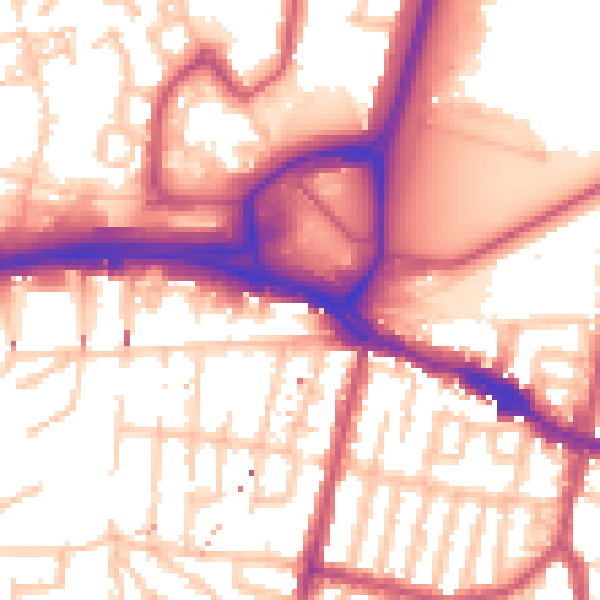
Daytime· 07:00 – 23:00
56.7dB

Night-time· 23:00 – 07:00
46.9dB