1 Prospect Vale, Greenwich, London, SE18 5HT
About 1 Prospect Vale
1 Prospect Vale is a three-bedroom property in Greenwich, London, London (SE18 5HT). It has council tax band C.
It hasn't traded since June 2002, a hold of 24 years that's notably long for the area. Across 1996–2002, sale prices on this property compounded at 1.8% per year.
What this property has
Inside
- Bedrooms3
- Bathrooms1
Everything you need to know about 1 Prospect Vale
The true value, the hidden risks and the full sale history, in one report.
Pick your report · every report is £14.99
One time fee only - money back guarantee

The data behind every report


Energy performance
No EPC on record
This property doesn't have an Energy Performance Certificate yet. An EPC is required to sell or let — and unlocks our automated valuation.
Get a survey for this property
Level 2 HomeBuyer Report
We've checked 10 risk factors against the available data for this property and believe a Level 2 HomeBuyer Report could be a suitable option for you.
Planning history
1 Prospect Vale has no planning applications on record.
But the area is active
7 notable applications nearby — larger schemes and conversions that could reshape the street. The report maps them all.
Sales history & valuation
£55,000
Growth on file: 1.8% per year over 6 years.
Sales timeline
23 June 2002Most recent
£55,000
+11.1%over 5 years8 July 1996
£49,500
Median price across the last 5 sales in SE18 5HT: £286,000 (2021–2014).
Everything you need to know about 1 Prospect Vale
The true value, the hidden risks and the full sale history, in one report.
Pick your report · every report is £14.99
One time fee only - money back guarantee
The data behind every report
Similar properties nearby
1 Lord Warwick Street, Greenwich
SE18 5QA
1 Harlinger Street, Greenwich
SE18 5SU
1 Marshalls Grove, Greenwich
SE18 5HR
1 Archway Court, Leda Road, Greenwich
SE18 5AB
1 Paradise Place, Greenwich
SE18 5EE
1 Mulgrave Road, Greenwich
SE18 5TX
1 Ogilby Street, Greenwich
SE18 5EH
1 Europe Road, Greenwich
SE18 5QJ
The neighbourhood at a glance
Rail-style transport is unusually close for this postcode.
Crime
13/mo
Rising year-on-year across the wider district.
Nearest stop
0.1 km
Morris Walk Estate — bus stop.
Closest school
0.2 km
Woodhill Primary School. 49 schools nearby.
Go deeper on the local area
A Local Area report breaks down crime, transport links, schools and air quality in depth.
Road noise across the postcode
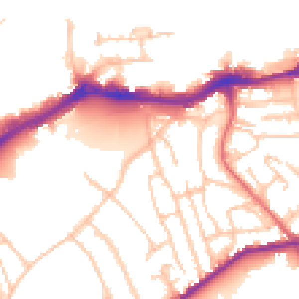
Daytime· 07:00 – 23:00
52.2dB

Night-time· 23:00 – 07:00
42.8dB