32 Ingledew Road, Greenwich, London, SE18 1AW
About 32 Ingledew Road
32 Ingledew Road is a property in Greenwich, London, London (SE18 1AW). It has council tax band C.
Held since July 2003 — that's 23 years off the open market, well above the local norm. Across 1999–2003, sale prices on this property compounded at 21.9% per year.
Everything you need to know about 32 Ingledew Road
The true value, the hidden risks and the full sale history, in one report.
Pick your report · every report is £14.99
One time fee only - money back guarantee

The data behind every report


Energy performance
No EPC on record
This property doesn't have an Energy Performance Certificate yet. An EPC is required to sell or let — and unlocks our automated valuation.
Get a survey for this property
Level 2 HomeBuyer Report
We've checked 10 risk factors against the available data for this property and believe a Level 2 HomeBuyer Report could be a suitable option for you.
Planning history
32 Ingledew Road has no planning applications on record.
But the area is active
127 notable applications nearby — larger schemes and conversions that could reshape the street. The report maps them all.
Sales history & valuation
32 Ingledew Road has more than doubled in price since the earliest registered sale in 1999.
£150,000
Growth on file: 21.9% per year over 4 years.
Sales timeline
1 July 2003Most recent
£150,000
+105.5%over 3 years10 November 1999
£73,000
Median price across the last 5 sales in SE18 1AW: £410,000 (2025–2021).
Nearby sales in SE18 1AW
24 Ingledew Road, Greenwich, London, SE18 1AW
Sold Oct 2025
£460,00050 Ingledew Road, Greenwich, London, SE18 1AW
Sold Oct 2023
£380,00058 Ingledew Road, Greenwich, London, SE18 1AW
Sold Nov 2022
£430,00018 Ingledew Road, Greenwich, London, SE18 1AW
Sold Sept 2021
£410,00026 Ingledew Road, Greenwich, London, SE18 1AW
Sold Mar 2018
£325,000
Everything you need to know about 32 Ingledew Road
The true value, the hidden risks and the full sale history, in one report.
Pick your report · every report is £14.99
One time fee only - money back guarantee
The data behind every report
Similar properties nearby
1 Heath Villas, Greenwich
SE18 1PG
1 Bernstein Court, Garibaldi Street, Greenwich
SE18 1DP
1 Barth Road, Greenwich
SE18 1SG
1 Balgowan Street, Greenwich
SE18 1EB
1 Felspar Close, Greenwich
SE18 1LW
1 Gunning Street, Greenwich
SE18 1BY
1 Coxwell Road, Greenwich
SE18 1AN
1 Bateson Street, Greenwich
SE18 1DA
The neighbourhood at a glance
Rail-style transport is unusually close for this postcode.
Crime
13/mo
Rising year-on-year across the wider district.
Nearest stop
0.2 km
Conway Road — bus stop.
Closest school
0.2 km
Conway Primary School. 45 schools nearby.
Go deeper on the local area
A Local Area report breaks down crime, transport links, schools and air quality in depth.
Road noise across the postcode
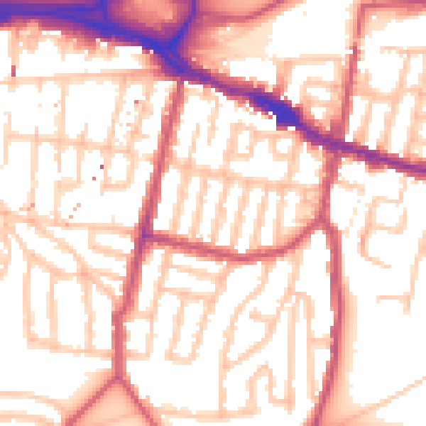
Daytime· 07:00 – 23:00
54.8dB

Night-time· 23:00 – 07:00
43.5dB