45 Ingledew Road, Greenwich, London, SE18 1AP
About 45 Ingledew Road
45 Ingledew Road is a three-bedroom property in Greenwich, London, London (SE18 1AP). It has council tax band C. Period features are noted in the property record.
Untraded for 24 years, with the last transfer in October 2002.
What this property has
Inside
- Bedrooms3
- Bathrooms1
- Dining roomYes
Outside
- Private gardenRear
Building
- Period featuresYes
Everything you need to know about 45 Ingledew Road
The true value, the hidden risks and the full sale history, in one report.
Pick your report · every report is £14.99
One time fee only - money back guarantee

The data behind every report


Energy performance
No EPC on record
This property doesn't have an Energy Performance Certificate yet. An EPC is required to sell or let — and unlocks our automated valuation.
Get a survey for this property
Level 2 HomeBuyer Report
We've checked 10 risk factors against the available data for this property and believe a Level 2 HomeBuyer Report could be a suitable option for you.
Planning history
45 Ingledew Road has no planning applications on record.
But the area is active
127 notable applications nearby — larger schemes and conversions that could reshape the street. The report maps them all.
Sales history & valuation
£131,000
Recorded with HM Land Registry.
Sales timeline
17 October 2002Most recent
£131,000
Median price across the last 5 sales in SE18 1AP: £318,000 (2025–2013).
Nearby sales in SE18 1AP
59 Ingledew Road, Greenwich, London, SE18 1AP
Sold Jul 2025
£400,00047 Ingledew Road, Greenwich, London, SE18 1AP
Sold Jan 2025
£416,5001 Ingledew Road, Greenwich, London, SE18 1AP
Sold Apr 2017
£318,0003 Ingledew Road, Greenwich, London, SE18 1AP
Sold Nov 2013
£200,0007 Ingledew Road, Greenwich, London, SE18 1AP
Sold Aug 2012
£160,000
Everything you need to know about 45 Ingledew Road
The true value, the hidden risks and the full sale history, in one report.
Pick your report · every report is £14.99
One time fee only - money back guarantee
The data behind every report
Similar properties nearby
1 Goldsmid Street, Greenwich
SE18 1PT
1 Brookdene Road, Greenwich
SE18 1EN
1 Barth Road, Greenwich
SE18 1SG
1 Conway Road, Greenwich
SE18 1AQ
1 Garibaldi Street, Greenwich
SE18 1DE
1 Gallosson Road, Greenwich
SE18 1RD
1 Bateson Street, Greenwich
SE18 1DA
1 Gunning Street, Greenwich
SE18 1BY
The neighbourhood at a glance
Rail-style transport is unusually close for this postcode.
Crime
13/mo
Rising year-on-year across the wider district.
Nearest stop
0.2 km
Conway Road — bus stop.
Closest school
0.2 km
Conway Primary School. 44 schools nearby.
Go deeper on the local area
A Local Area report breaks down crime, transport links, schools and air quality in depth.
Road noise across the postcode
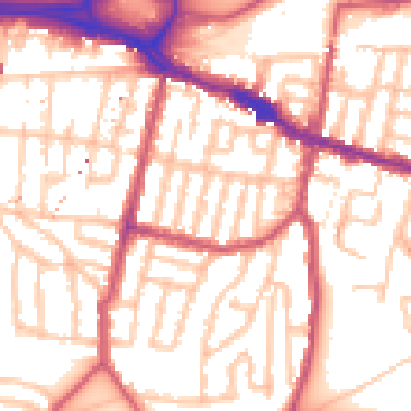
Daytime· 07:00 – 23:00
54.9dB

Night-time· 23:00 – 07:00
43.5dB