8 Hinckley Road, Southwark, London, SE15 4HZ
About 8 Hinckley Road
8 Hinckley Road is a property in Southwark, London, London (SE15 4HZ). It has council tax band E.
It hasn't traded since March 1995, a hold of 31 years that's notably long for the area. Only one transfer is on record with HM Land Registry, suggesting it has stayed in the same hands for a long time. 2 planning records sit against the property, 1 approved, 1 refused. Past consents include an extension, meaningful when judging how the property has evolved.
Know exactly what you're buying at 8 Hinckley Road
Before you offer, see what the listing won't tell you, the true value, the red flags and the full history.
Already flagged here
Launch offer · save £5
Valuation
against the asking price
Risks
planning & flood
Sold prices
similar homes nearby
Trends
the local market
Energy performance
No EPC on record
This property doesn't have an Energy Performance Certificate yet. An EPC is required to sell or let — and unlocks our automated valuation.
Planning history
8 Hinckley Road has been extended on multiple sides of the property across separate planning applications.
- Mar 2014ExtensionFullIn report
Extension: Single storey · Rear of property
Erection of single storey rear ('L-shaped) extension to No. 8; and infill side extension to outrigger at No.10; to provide additional accommodation for both dwellinghouses
- Agent
- Build Team
- Documents
- 1 doc on file
- Reference
- 14/AP/0282
- Jan 2014ExtensionFullIn report
Extension: Single storey · Side of property
Erection of a single storey side infill and rear extension, pitch roof with four roof lights, aluminium bi-folding doors to provide additional accommodation
- Agent
- Build Team
- Documents
- 17 docs on file
- Reference
- 13/AP/4186
We flagged 1 thing worth checking at 8 Hinckley Road
Independent checks surfaced things a buyer would want to understand before offering. The report explains each one in full, with the underlying data and what to ask.
- Larger development activity nearby
30-day money-back guarantee
Sales history & valuation
8 Hinckley Road has been held in the same hands since before 2000.
£97,500
Recorded with HM Land Registry.
Sales timeline
3 March 1995Most recent
£97,500
Median price across the last 5 sales in SE15 4HZ: £575,000 (2023–2020).
Nearby sales in SE15 4HZ
1 Hinckley Road, Southwark, London, SE15 4HZ
Sold Dec 2023
£419,8533 Hinckley Road, Southwark, London, SE15 4HZ
Sold Dec 2022
£575,0007 Hinckley Road, Southwark, London, SE15 4HZ
Sold Sept 2022
£1,370,000Flat B, 13 Hinckley Road, London, SE15 4HZ
Sold Jun 2022
£610,000Flat A, 9 Hinckley Road, Southwark, London, SE15 4HZ
Sold Jan 2020
£400,000
Everything we know about 8 Hinckley Road, in one report
What it's really worth, what could be wrong, and the planning, sales and area data in full.
What we flagged
- Larger development activity nearby

Similar properties nearby
1 Adys Road, Southwark
SE15 4DX
1 Almond Close, Southwark
SE15 4UH
1 Amott Road, Southwark
SE15 4HU
1 Ashleigh Mews, Southwark
SE15 4BF
1 Avondale Rise, Southwark
SE15 4AJ
1 Birch Close, Southwark
SE15 4UG
1 Bournemouth Road, Southwark
SE15 4BH
1 Chadwick Road, Southwark
SE15 4RA
The neighbourhood at a glance
Rail-style transport is unusually close for this postcode.
Crime
11/mo
Rising year-on-year across the wider district.
Nearest stop
0.1 km
Oakhurst Grove — bus stop.
Closest school
0.1 km
St John's and St Clement's Church of England Primary School. 74 schools nearby.
Go deeper on the local area
The full report breaks down crime, transport links, schools and air quality in depth.
Road noise across the postcode
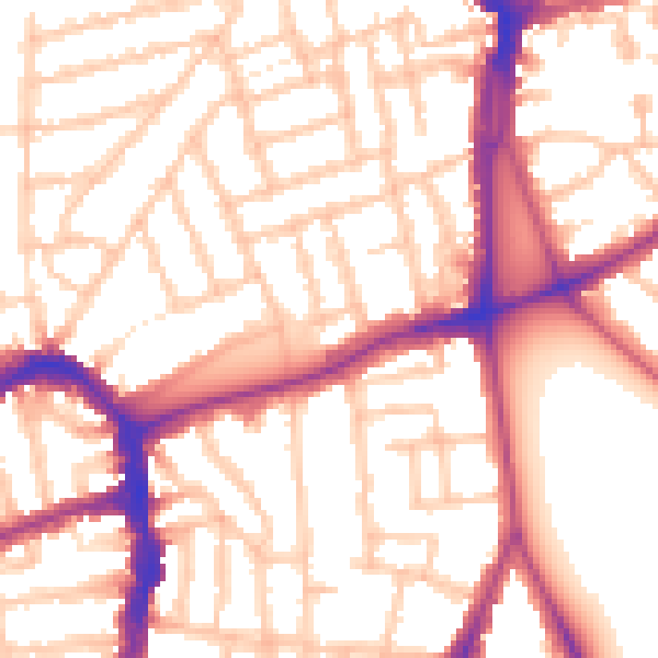
Daytime· 07:00 – 23:00
54.4dB

Night-time· 23:00 – 07:00
44.4dB