Model valuation£417,0008 Busby Close
Local market context
26a is a two-bedroom end-of-terrace house in Wath-Upon-Dearne, Rotherham, Rotherham (S63 6QQ). It has a recorded floor area of 62 m² (around 667 sq ft), construction records dating it to 1900-1929 and council tax band A. At 62 m² this is the 5th smallest of 7 units on EPC record in the building, where floor areas span 38–92 m². The building's EPC ratings span E to C, with this unit at the bottom. The latest certificate (April 2013) shows an E (score 52), well below the UK norm with real room to improve. The recommended improvements would lift it to C (score 73), a 2-band jump. The latest certificate is from April 2013, so improvements made since then won't be reflected.
It changed hands recently, sold May 2026 for £83,000. At 62 m² it's 21.6% larger than the typical home in the postcode (51 m² median across 6 EPCs). Across 2006–2026, sale prices on this property compounded at -0.9% per year. Today's modelled estimate of £111,000 is 33.7% above the 2026 sale price.
The true value, the hidden risks and the full sale history, in one report.
Pick your report · from £14.99
One time fee only - money back guarantee

The data behind every report


Recommended upgrades on file would lift this property by multiple EPC bands.
This certificate is over 10 years old and is no longer valid.Expired 15 Apr 2023
Certificate validity
Expired on 15 April 2023

Get a survey for this property
Because the property was built before 1919, we believe a Level 3 building survey should be considered.
From £820 · Includes VAT
26a has no planning applications on record.
A planning report still maps activity across the surrounding area and reads this property's extension & conversion potential.
26a's sale-price growth has lagged the wider UK trajectory across its history on file.
£111,000
Modelled from EPC, postcode comparables and a sale-price growth of -0.9% per year over 20 years.
£83,000
Growth on file: -0.9% per year over 20 years.
13 May 2026Most recent
£83,000
+27.7%over 4 years24 June 2021
£65,000
-35.0%over 15 years11 May 2006
£100,000
Median price across the last 5 sales in S63 6QQ: £79,950 (2024–2003).
26a is notably below the street on epc rating.
EPC Rating
52 (E)
Street avg 63 (D)
Floor Area
62 m²
Street avg 47 m²
CO₂ Emissions
4.2 t/year
Street avg 2.7 t/year
Habitable Rooms
3 rooms
Street avg 2 rooms
Property research, connected
Explore sale histories, valuations, energy ratings and local areas. Ask the assistant to connect the details and take your research further.
Start your researchS63 6SH
S63 6SL
S63 6EN
S63 6FB
S63 6RE
S63 6NJ
S63 6QH
S63 6NP
Crime
404/mo
Steady year-on-year across the wider district.
Nearest stop
0.0 km
Melton High Street/Barnsley Road — bus stop.
Closest school
0.3 km
Wath Church of England Primary School. 13 schools nearby.
Go deeper on the local area
A Local Area report breaks down crime, transport links, schools and air quality in depth.
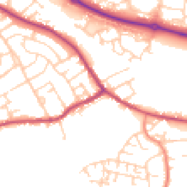
Daytime· 07:00 – 23:00
51.6dB

Night-time· 23:00 – 07:00
42.1dB