18 Shepherd Lane, Thurnscoe, Rotherham, S63 0JS
About 18 Shepherd Lane
18 Shepherd Lane is a three-bedroom detached house in Thurnscoe, Rotherham, Rotherham (S63 0JS). It has a recorded floor area of 82 m² (around 887 sq ft), construction records dating it to 1930-1949 and council tax band C. The latest certificate (January 2011) shows a C (score 70). The latest certificate is from January 2011, so improvements made since then won't be reflected.
It hasn't traded since November 2003, a hold of 23 years that's notably long for the area. At 82 m² it's 15.1% smaller than the typical home in the postcode (97 m² median across 29 EPCs). Its energy rating outperforms most of the postcode (better than 83% of similar EPCs). Across 2000–2003, sale prices on this property compounded at 29.8% per year. Today's modelled estimate of £194,000 is 43.7% above the 2003 sale price. On a £-per-square-foot basis, the last sale (£152/sq ft) was about 86.6% above the typical sold price in the postcode.
What this property has
Inside
- Bedrooms3
- Bathrooms1
Everything you need to know about 18 Shepherd Lane
The true value, the hidden risks and the full sale history, in one report.
Pick your report · every report is £14.99
One time fee only - money back guarantee

The data behind every report


Energy performance
18 Shepherd Lane's EPC is over a decade old — improvements since won't be reflected.
EPC Expired
This certificate is over 10 years old and is no longer valid.Expired 19 Jan 2021
EPC Rating
Get a survey for this property
Level 2 HomeBuyer Report
We've checked 10 risk factors against the available data for this property and believe a Level 2 HomeBuyer Report could be a suitable option for you.
From £495 · Includes VAT
Planning history
18 Shepherd Lane has no planning applications on record.
But the area is active
3 notable applications nearby — larger schemes and conversions that could reshape the street. The report maps them all.
Sales history & valuation
18 Shepherd Lane has more than doubled in price since the earliest registered sale in 2000.
£194,000
Modelled from EPC, postcode comparables and a sale-price growth of 29.8% per year over 4 years.
£135,000
Growth on file: 29.8% per year over 4 years.
Sales timeline
21 November 2003Most recent
£135,000
+104.5%over 2 years8 August 2001
£66,000
+24.5%over 1 year19 April 2000
£53,000
Median price across the last 5 sales in S63 0JS: £125,000 (2025–2023).
Nearby sales in S63 0JS
9 Shepherd Lane, Thurnscoe, Rotherham, S63 0JS
Sold Jul 2025
£105,00045b, Shepherd Lane, Thurnscoe, Rotherham, S63 0JS
Sold Jun 2024
£200,00015 Shepherd Lane, Thurnscoe, Rotherham, S63 0JS
Sold Jun 2024
£114,00017 Shepherd Lane, Thurnscoe, Rotherham, S63 0JS
Sold Nov 2023
£125,000The Old Barn, Shepherd Lane, Thurnscoe, Rotherham, S63 0JS
Sold Aug 2023
£165,000
Versus other Shepherd Lane homes
On price per m², 18 Shepherd Lane stands well clear of the street.
Price per m²
£1,638
Street avg £1,204
Floor Area
82 m²
Street avg 106 m²
Habitable Rooms
5 rooms
Street avg 5 rooms
CO₂ Emissions
3.4 t/year
Street avg 5.9 t/year
Everything you need to know about 18 Shepherd Lane
The true value, the hidden risks and the full sale history, in one report.
Pick your report · every report is £14.99
One time fee only - money back guarantee
The data behind every report
Similar properties nearby
1 Clayton Avenue, Thurnscoe
S63 0RY
1 Blossom Way, Thurnscoe
S63 0AS
1 Beechlea, Thurnscoe
S63 0NZ
1 Ashberry Close, Thurnscoe
S63 0LX
1 Butcher Street, Thurnscoe
S63 0RB
1 Ashlea, Thurnscoe
S63 0GY
1 Burntwood Close, Thurnscoe
S63 0QQ
1 Bateman Square, Thurnscoe
S63 0QN
The neighbourhood at a glance
Rail-style transport is unusually close for this postcode.
Crime
6/mo
Steady year-on-year across the wider district.
Nearest stop
0.0 km
Shepherd Lane/Houghton Road — bus stop.
Closest school
0.9 km
Gooseacre Primary Academy. 10 schools nearby.
Go deeper on the local area
A Local Area report breaks down crime, transport links, schools and air quality in depth.
Road noise across the postcode
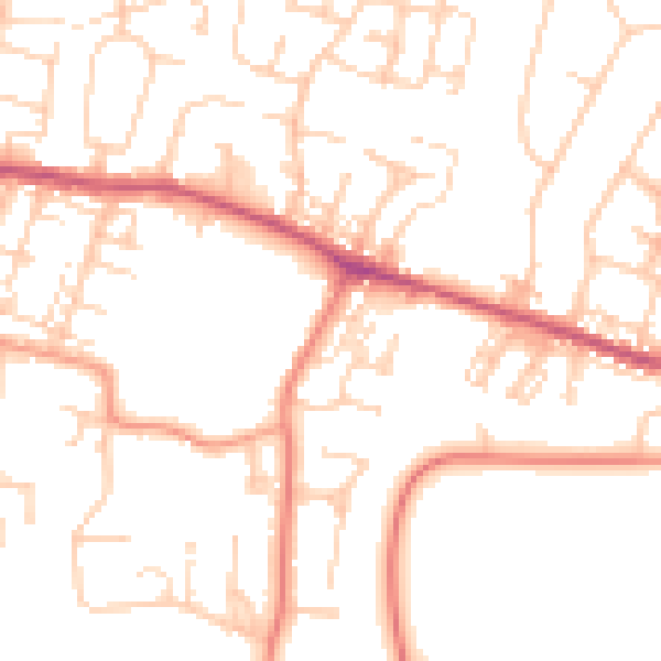
Daytime· 07:00 – 23:00
50.8dB

Night-time· 23:00 – 07:00
40.1dB