49 Dugdale Road, Sheffield, S5 9NY
About 49 Dugdale Road
49 Dugdale Road is a three-bedroom mid-terrace house in Sheffield (S5 9NY). It has a recorded floor area of 97 m² (around 1044 sq ft), construction records dating it to 1930-1949 and council tax band A. The latest certificate (March 2019) shows a C (score 72). The recommended improvements would push it to B (score 86).
Today's modelled estimate of £161,000 sits 106.4% above the 2015 sale of £78,000. On a £-per-square-foot basis, the last sale (£75/sq ft) was about 33.5% below the postcode norm. Last sold in December 2015, so it's been off the market for around 10 years.
What this property has
Inside
- Bedrooms3
- Bathrooms1
- Dining roomYes
- FireplaceYes
Outside
- Private gardenFront and rear
Building
- RefurbishedYes
Everything you need to know about 49 Dugdale Road
The true value, the hidden risks and the full sale history, in one report.
30-day money-back guarantee

The data behind every report


Energy performance
EPC Rating
Get a survey for this property
Level 2 HomeBuyer Report
We've checked 10 risk factors against the available data for this property and believe a Level 2 HomeBuyer Report could be a suitable option for you.
From £495 · Includes VAT
Planning history
49 Dugdale Road has no planning applications on record.
Notable planning nearby
1applications of note in the surrounding area
We flagged 1 thing worth checking at 49 Dugdale Road
Independent checks surfaced things a buyer would want to understand before offering. The report explains each one in full, with the underlying data and what to ask.
- Larger development activity nearby
30-day money-back guarantee
Sales history & valuation
49 Dugdale Road valuation sits well clear of the typical sold price in this postcode.
£161,000
Modelled from EPC, postcode comparables.
£78,000
Recorded with HM Land Registry.
Sales timeline
10 December 2015Most recent
£78,000
Median price across the last 5 sales in S5 9NY: £120,000 (2025–2013).
Versus other Dugdale Road homes
Price per m² for 49 Dugdale Road lags the street by a wide margin.
Price per m²
£804
Street avg £1,642
Floor Area
97 m²
Street avg 89 m²
Habitable Rooms
5 rooms
Street avg 4 rooms
CO₂ Emissions
3.3 t/year
Street avg 3.2 t/year
Everything you need to know about 49 Dugdale Road
The true value, the hidden risks and the full sale history, in one report.
30-day money-back guarantee
The data behind every report
Similar properties nearby
1 Chaucer Close
S5 9QD
1 Fulmere Road
S5 9NR
1 Butchill Avenue
S5 9DG
1 Bernshall Crescent
S5 9FB
1 Greaves Road
S5 9DB
1 Darnbrook Drive
S5 9BJ
1 Colley Crescent
S5 9FR
1 Haven Hill Road
S5 9BS
The neighbourhood at a glance
Crime
13/mo
Steady year-on-year across the wider district.
Nearest stop
0.1 km
Remington Road/Remington Avenue — bus stop.
Closest school
0.4 km
Mansel Primary. 28 schools nearby.
Go deeper on the local area
The full report breaks down crime, transport links, schools and air quality in depth.
Road noise across the postcode
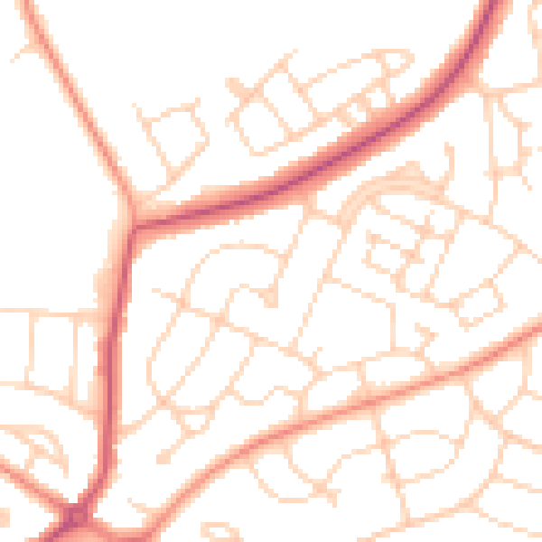
Daytime· 07:00 – 23:00
50.5dB

Night-time· 23:00 – 07:00
39.6dB