27 Broad Inge Crescent, Chapeltown, Sheffield, S35 1RT
About 27 Broad Inge Crescent
27 Broad Inge Crescent is a property in Chapeltown, Sheffield, Sheffield (S35 1RT). It has council tax band B.
It hasn't traded since March 1999, a hold of 27 years that's notably long for the area. Only one transfer is on record with HM Land Registry, suggesting it has stayed in the same hands for a long time.
Everything you need to know about 27 Broad Inge Crescent
The true value, the hidden risks and the full sale history, in one report.
Pick your report · from £14.99
One time fee only - money back guarantee

The data behind every report







Energy performance
No EPC on record
This property doesn't have an Energy Performance Certificate yet. An EPC is required to sell or let — and unlocks our automated valuation.

Get a survey for this property
Level 2 HomeBuyer Report
We've checked 10 risk factors against the available data for this property and believe a Level 2 HomeBuyer Report could be a suitable option for you.
Planning history
27 Broad Inge Crescent has no planning applications on record.
A planning report still maps activity across the surrounding area and reads this property's extension & conversion potential.
Sales history & valuation
27 Broad Inge Crescent has been held in the same hands since before 2000.
£40,000
Recorded with HM Land Registry.
Sales timeline
30 March 1999Most recent
£40,000
Median price across the last 5 sales in S35 1RT: £195,000 (2025–2024).
Nearby sales in S35 1RT
97 Broad Inge Crescent, Chapeltown, Sheffield, S35 1RT
Sold Oct 2025
£230,000115 Broad Inge Crescent, Chapeltown, Sheffield, S35 1RT
Sold Sept 2025
£194,500125 Broad Inge Crescent, Chapeltown, Sheffield, S35 1RT
Sold Nov 2024
£265,00081 Broad Inge Crescent, Chapeltown, Sheffield, S35 1RT
Sold Jun 2024
£195,0003 Broad Inge Crescent, Chapeltown, Sheffield, S35 1RT
Sold Jul 2022
£170,000
Everything you need to know about 27 Broad Inge Crescent
The true value, the hidden risks and the full sale history, in one report.
Pick your report · from £14.99
One time fee only - money back guarantee
The data behind every report
Similar properties nearby
1 Acacia Avenue, Chapeltown
S35 1PQ
1 Albany Avenue, Chapeltown
S35 1RA
1 Ash View, Chapeltown
S35 1ZD
1 Barnes Hall Road, Burncross
S35 1RE
1 Bentley Road, Chapeltown
S35 1RH
1 Berry Holme Close, Chapeltown
S35 1AB
1 Berry Holme Court, Chapeltown
S35 1AN
1 Berry Holme Drive, Chapeltown
S35 1AD
The neighbourhood at a glance
Daytime road noise here sits well below conversation level — a quiet pocket of the postcode.
Crime
217/mo
Falling year-on-year across the wider district.
Nearest stop
0.1 km
Burncross Road/Chapel Road — bus stop.
Closest school
0.4 km
Windmill Hill Primary School. 14 schools nearby.
Go deeper on the local area
A Local Area report breaks down crime, transport links, schools and air quality in depth.
Road noise across the postcode
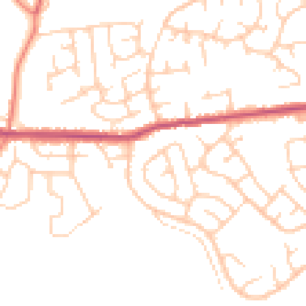
Daytime· 07:00 – 23:00
49.3dB

Night-time· 23:00 – 07:00
38.8dB