10 Alport Rise, Dronfield Woodhouse, Dronfield, S18 8ZB
About 10 Alport Rise
10 Alport Rise is a three-bedroom detached house in Dronfield Woodhouse, Dronfield, Dronfield (S18 8ZB). It has a recorded floor area of 78 m² (around 840 sq ft), construction records dating it to 1976-1982 and council tax band C. The latest certificate (March 2016) shows a D (score 56), a step below the typical UK home. The recommended improvements would lift it to B (score 83), a 2-band jump. The latest certificate is from March 2016, so improvements made since then won't be reflected. The home occupies a cul-de-sac position.
Across 1996–2020, sale prices on this property compounded at 5.8% per year. Today's modelled estimate of £332,000 is 21.8% above the 2020 sale price. On a £-per-square-foot basis, the last sale (£325/sq ft) was about 21.7% above the typical sold price in the postcode. Most recent transfer: February 2020 at £272,500.
Know exactly what you're buying at 10 Alport Rise
Before you offer, see what the listing won't tell you, the true value, the red flags and the full history.
Valuation
against the asking price
Risks
planning & flood
Sold prices
similar homes nearby
Trends
the local market
What this property has
Inside
- Bedrooms3
- Bathrooms1
- Open-plan layoutYes
- Dining roomYes
- StudyYes
Outside
- Private gardenYes
- GarageYes
- Cul-de-sacYes
Building
- Heating systemGas
Energy performance
Recommended upgrades on file would lift this property by multiple EPC bands.
EPC Expired
This certificate is over 10 years old and is no longer valid.Expired 01 Mar 2026
EPC Rating
Planning history
10 Alport Rise has no planning applications on record.
The full report still covers planning activity across the surrounding area.
Sales history & valuation
10 Alport Rise has more than tripled in price since its earliest registered sale in 1996.
£332,000
Modelled from EPC, postcode comparables and a sale-price growth of 5.8% per year over 24 years.
£272,500
Growth on file: 5.8% per year over 24 years.
Sales timeline
14 February 2020Most recent
£272,500
+26.7%over 2 years24 July 2017
£215,000
+205.0%over 21 years17 April 1996
£70,500
Median price across the last 5 sales in S18 8ZB: £267,500 (2025–2020).
Nearby sales in S18 8ZB
11 Alport Rise, Dronfield Woodhouse, Dronfield, S18 8ZB
Sold Feb 2025
£250,00021 Alport Rise, Dronfield Woodhouse, Dronfield, S18 8ZB
Sold Feb 2025
£348,5005 Alport Rise, Dronfield Woodhouse, Dronfield, S18 8ZB
Sold Jun 2024
£267,5004 Alport Rise, Dronfield Woodhouse, Dronfield, S18 8ZB
Sold May 2022
£365,00017 Alport Rise, Dronfield Woodhouse, Dronfield, S18 8ZB
Sold Oct 2020
£264,000
Everything we know about 10 Alport Rise, in one report
What it's really worth, what could be wrong, and the planning, sales and area data in full.
- Am I paying too much?
- Is something wrong with it?
- Is the agent's story true?
- Will it hold its value?

Versus other Alport Rise homes
10 Alport Rise is notably below the street on epc rating.
Price per m²
£3,494
Street avg £3,367
Floor Area
78 m²
Street avg 79 m²
Habitable Rooms
4 rooms
Street avg 4 rooms
CO₂ Emissions
4.5 t/year
Street avg 3.6 t/year
Similar properties nearby
1 Alport Rise, Dronfield Woodhouse
S18 8ZB
1 Birchen Close, Dronfield Woodhouse
S18 8ZD
1 Allestree Drive, Dronfield Woodhouse
S18 8QR
1 Alton Close, Dronfield Woodhouse
S18 8RU
1 Cartmel Close, Dronfield Woodhouse
S18 8PF
1 Castlerigg Way, Dronfield Woodhouse
S18 8PP
1 Bowness Close, Dronfield Woodhouse
S18 8PE
1 Bubnell Road, Dronfield Woodhouse
S18 8NP
The neighbourhood at a glance
Daytime road noise here sits well below conversation level — a quiet pocket of the postcode.
Crime
5/mo
Steady year-on-year across the wider district.
Nearest stop
0.1 km
Balmoral Crescent — bus stop.
Closest school
0.2 km
St Andrew's CofE Methodist (Aided) Primary School. 15 schools nearby.
Go deeper on the local area
The full report breaks down crime, transport links, schools and air quality in depth.
Road noise across the postcode
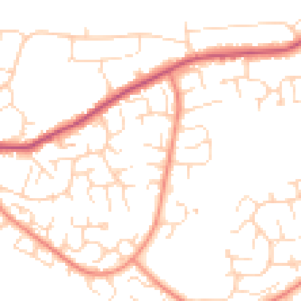
Daytime· 07:00 – 23:00
49.5dB

Night-time· 23:00 – 07:00
39.0dB