4 Farm Close, Coal Aston, Dronfield, S18 3DG
About 4 Farm Close
4 Farm Close is a four-bedroom detached house in Coal Aston, Dronfield, Dronfield (S18 3DG). It has a recorded floor area of 113 m² (around 1216 sq ft), construction records dating it to 1976-1982 and council tax band D. The latest certificate (April 2021) shows a D (score 65), on the cusp of jumping into the C band. The recommended improvements would lift it to B (score 83), a 2-band jump. Other recorded features include a balcony and notable views. Period features are noted in the property record.
At 113 m² it's 20.2% larger than the typical home in the postcode (94 m² median across 6 EPCs). Today's modelled estimate of £454,000 is 17.9% above the 2021 sale price. On a £-per-square-foot basis, the last sale (£317/sq ft) was about 93.3% above the typical sold price in the postcode. Last sale on file: £385,000 in September 2021. That sale was during the post-pandemic price surge, when transactions cleared materially above pre-2020 trend.
Know exactly what you're buying at 4 Farm Close
Before you offer, see what the listing won't tell you, the true value, the red flags and the full history.
Valuation
against the asking price
Risks
planning & flood
Sold prices
similar homes nearby
Trends
the local market
What this property has
Inside
- Bedrooms4
- Bathrooms2
- Utility roomYes
- EnsuiteYes
Outside
- GarageYes
- BalconyYes
- Notable viewsYes
Building
- Period featuresYes
Energy performance
Recommended upgrades on file would lift this property by multiple EPC bands.
EPC Rating
Planning history
4 Farm Close has no planning applications on record.
The full report still covers planning activity across the surrounding area.
Sales history & valuation
Latest sale on 4 Farm Close was the highest on Land Registry record across the postcode.
£454,000
Modelled from EPC, postcode comparables.
£385,000
Recorded with HM Land Registry.
Sales timeline
15 September 2021Most recent
£385,000
Median price across the last 5 sales in S18 3DG: £210,000 (2017–2012).
Nearby sales in S18 3DG
10 Farm Close, Coal Aston, Dronfield, S18 3DG
Sold Oct 2017
£270,00016 Farm Close, Coal Aston, Dronfield, S18 3DG
Sold Aug 2016
£218,0006 Farm Close, Coal Aston, Dronfield, S18 3DG
Sold Jul 2014
£188,00011 Farm Close, Coal Aston, Dronfield, S18 3DG
Sold Aug 2011
£250,00012 Farm Close, Coal Aston, Dronfield, S18 3DG
Sold Nov 2005
£189,950
Everything we know about 4 Farm Close, in one report
What it's really worth, what could be wrong, and the planning, sales and area data in full.
- Am I paying too much?
- Is something wrong with it?
- Is the agent's story true?
- Will it hold its value?

Versus other Farm Close homes
On price per m², 4 Farm Close stands well clear of the street.
Price per m²
£3,407
Street avg £2,108
Floor Area
113 m²
Street avg 101 m²
Habitable Rooms
6 rooms
Street avg 6 rooms
CO₂ Emissions
4.9 t/year
Street avg 5.0 t/year
Similar properties nearby
1 Eckington Road, Coal Aston
S18 3AT
1 Firthwood Close, Coal Aston
S18 3DD
1 The Ridgeway, Coal Aston
S18 3BY
1 Forresters Lane, Coal Aston
S18 3AN
1 Westbank Close, Coal Aston
S18 3DE
1 Stone Close, Coal Aston
S18 3AS
1 Ferndale Road, Coal Aston
S18 3BT
1 Thorpe Avenue, Coal Aston
S18 3BB
The neighbourhood at a glance
Daytime road noise here sits well below conversation level — a quiet pocket of the postcode.
Crime
5/mo
Steady year-on-year across the wider district.
Nearest stop
0.2 km
Wilson Road — bus stop.
Closest school
0.6 km
Lenthall Infant and Nursery School. 18 schools nearby.
Go deeper on the local area
The full report breaks down crime, transport links, schools and air quality in depth.
Road noise across the postcode
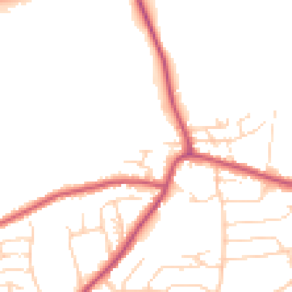
Daytime· 07:00 – 23:00
49.1dB

Night-time· 23:00 – 07:00
40.7dB