5a, High Street, Dronfield, S18 1PX
About 5a
5a is a semi-detached house in Dronfield (S18 1PX). It has a recorded floor area of 166 m² (around 1787 sq ft), construction records dating it to before 1900 and council tax band A. The latest certificate (December 2021) shows an E (score 42), well below the UK norm with real room to improve. The recommended improvements would lift it to C (score 72), a 2-band jump.
Today's modelled estimate of £338,000 sits 111.2% above the 2022 sale of £160,000. On a £-per-square-foot basis, the last sale (£90/sq ft) was about 50.4% below the postcode norm. One historical planning record sits against the property in 2024. The record references listed-building consent and conservation-area consent, which constrain future alterations. Most recent transfer: March 2022 at £160,000. That sale was during the post-pandemic price surge, when transactions cleared materially above pre-2020 trend.
Know exactly what you're buying at 5a
Before you offer, see what the listing won't tell you, the true value, the red flags and the full history.
Already flagged here
Valuation
against the asking price
Risks
planning & flood
Sold prices
similar homes nearby
Trends
the local market
Energy performance
5a's carbon output runs well above what efficient homes in the postcode produce.
EPC Rating
Planning history
A recent planning application at 5a was refused — worth checking the council file.
- Mar 2024Change Of UseFullIn report
Change of use from butchers shop to public house serving alcoholic beverages and food, change to shop front and 1 window added to gable end. (Affecting setting of a Listed Building)(Conservation Area)
ListedConservation Area- Documents
- 38 docs on file
- Reference
- 23/00633/FL
We flagged 2 things worth checking at 5a
Independent checks surfaced things a buyer would want to understand before offering. The report explains each one in full, with the underlying data and what to ask.
- Larger development activity nearby
- A planning decision worth checking
30-day money-back guarantee
Sales history & valuation
The latest sale landed in the post-pandemic price surge — useful context when reading the figure.
£338,000
Modelled from EPC, postcode comparables.
£160,000
Recorded with HM Land Registry.
Sales timeline
10 March 2022Most recent
£160,000
Median price across the last 5 sales in S18 1PX: £247,500 (2024–2003).
Everything we know about 5a, in one report
What it's really worth, what could be wrong, and the planning, sales and area data in full.
What we flagged
- Larger development activity nearby
- A planning decision worth checking

Similar properties nearby
The neighbourhood at a glance
Rail-style transport is unusually close for this postcode.
Crime
5/mo
Steady year-on-year across the wider district.
Nearest stop
0.1 km
Civic Centre — bus stop.
Closest school
0.4 km
Dronfield Junior School. 17 schools nearby.
Go deeper on the local area
The full report breaks down crime, transport links, schools and air quality in depth.
Road noise across the postcode
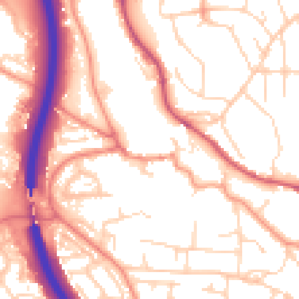
Daytime· 07:00 – 23:00
54.7dB

Night-time· 23:00 – 07:00
44.5dB