19 High Street, Dronfield, S18 1PX
About 19 High Street
19 High Street is a seven-bedroom property in Dronfield (S18 1PX). It has council tax band G. Other recorded features include attached land beyond the plot.
Untraded for 23 years, with the last transfer in June 2003. 9 planning records sit against the property, 8 approved, 1 refused. Past consents include tree works, meaningful when judging how the property has evolved. The record references listed-building consent and conservation-area consent, which constrain future alterations. Across 2000–2003, sale prices on this property compounded at 32.2% per year. 7 bedrooms is on the larger side for this postcode, where 3 is the typical count.
Know exactly what you're buying at 19 High Street
Before you offer, see what the listing won't tell you, the true value, the red flags and the full history.
Already flagged here
Valuation
against the asking price
Risks
planning & flood
Sold prices
similar homes nearby
Trends
the local market
What this property has
Inside
- Bedrooms7
- Dining roomYes
Outside
- Private gardenRear
- LandYes
Energy performance
No EPC on record
This property doesn't have an Energy Performance Certificate yet. An EPC is required to sell or let — and unlocks our automated valuation.
Planning history
19 High Street has multiple listed-building consents on file — alterations need formal heritage approval.
- Oct 2024Tree WorksTreesIn report
Application to fell 1no Weeping Ash tree due to die back covered by Tree Preservation Order 69 (Conservation Area)
Conservation Area- Documents
- 6 docs on file
- Reference
- 24/00432/TPO
- Jul 2021Tree WorksTreesIn report
Application to fell 1no Ash Tree (T1) and 1no Lime Tree (in group G1) within NEDDC TPO number 69
- Documents
- 15 docs on file
- Reference
- 21/00626/TPO
We flagged 1 thing worth checking at 19 High Street
Independent checks surfaced things a buyer would want to understand before offering. The report explains each one in full, with the underlying data and what to ask.
- Larger development activity nearby
30-day money-back guarantee
Sales history & valuation
Latest sale on 19 High Street was the highest on Land Registry record across the postcode.
£895,000
Growth on file: 32.2% per year over 3 years.
Sales timeline
26 June 2003Most recent
£895,000
+113.1%over 2 years9 October 2000
£420,000
Median price across the last 5 sales in S18 1PX: £160,000 (2024–2005).
Everything we know about 19 High Street, in one report
What it's really worth, what could be wrong, and the planning, sales and area data in full.
What we flagged
- Larger development activity nearby

Similar properties nearby
The neighbourhood at a glance
Rail-style transport is unusually close for this postcode.
Crime
5/mo
Steady year-on-year across the wider district.
Nearest stop
0.1 km
Civic Centre — bus stop.
Closest school
0.4 km
Dronfield Junior School. 17 schools nearby.
Go deeper on the local area
The full report breaks down crime, transport links, schools and air quality in depth.
Road noise across the postcode
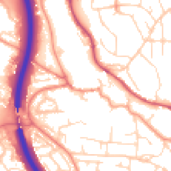
Daytime· 07:00 – 23:00
54.7dB
Night-time· 23:00 – 07:00
44.5dB