8 Burns Drive, Dronfield, S18 1NJ
About 8 Burns Drive
8 Burns Drive is a four-bedroom semi-detached house in Dronfield (S18 1NJ). It has a recorded floor area of 101 m² (around 1087 sq ft), construction records dating it to 1976-1982 and council tax band B. The latest certificate (January 2016) shows a D (score 63), on the cusp of jumping into the C band. The recommended improvements would lift it to B (score 83), a 2-band jump. The latest certificate is from January 2016, so improvements made since then won't be reflected.
At 101 m² it's 24.2% larger than the typical home in the postcode (81 m² median across 44 EPCs). 10 years since the last transfer (November 2016). Across 1999–2016, sale prices on this property compounded at 7.1% per year. Today's modelled estimate of £282,000 is 44.6% above the 2016 sale price.
Know exactly what you're buying at 8 Burns Drive
Before you offer, see what the listing won't tell you, the true value, the red flags and the full history.
Already flagged here
Valuation
against the asking price
Risks
planning & flood
Sold prices
similar homes nearby
Trends
the local market
What this property has
Inside
- Bedrooms4
Energy performance
Recommended upgrades on file would lift this property by multiple EPC bands.
EPC Expired
This certificate is over 10 years old and is no longer valid.Expired 13 Jan 2026
EPC Rating
Planning history
8 Burns Drive has no planning applications on record.
Notable planning nearby
2applications of note in the surrounding area
We flagged 1 thing worth checking at 8 Burns Drive
Independent checks surfaced things a buyer would want to understand before offering. The report explains each one in full, with the underlying data and what to ask.
- Larger development activity nearby
30-day money-back guarantee
Sales history & valuation
Sale price has grown by over 3x since 1999.
£282,000
Modelled from EPC, postcode comparables and a sale-price growth of 7.1% per year over 17 years.
£195,000
Growth on file: 7.1% per year over 17 years.
Sales timeline
25 November 2016Most recent
£195,000
+85.7%over 14 years19 November 2002
£105,000
+75.1%over 3 years31 August 1999
£59,950
Median price across the last 5 sales in S18 1NJ: £135,000 (2024–2024).
Everything we know about 8 Burns Drive, in one report
What it's really worth, what could be wrong, and the planning, sales and area data in full.
What we flagged
- Larger development activity nearby

Versus other Burns Drive homes
CO₂ Emissions for 8 Burns Drive lags the street by a wide margin.
Price per m²
£1,931
Street avg £2,240
Floor Area
101 m²
Street avg 93 m²
Habitable Rooms
5 rooms
Street avg 5 rooms
CO₂ Emissions
4.7 t/year
Street avg 4.1 t/year
Similar properties nearby
The neighbourhood at a glance
Daytime road noise here sits well below conversation level — a quiet pocket of the postcode.
Crime
5/mo
Steady year-on-year across the wider district.
Nearest stop
0.1 km
Burns Drive — bus stop.
Closest school
1.1 km
Dronfield Henry Fanshawe School. 11 schools nearby.
Go deeper on the local area
The full report breaks down crime, transport links, schools and air quality in depth.
Road noise across the postcode
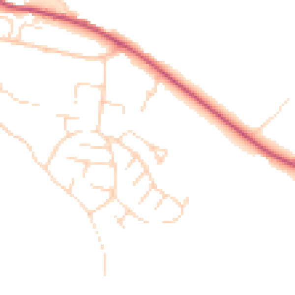
Daytime· 07:00 – 23:00
46.4dB

Night-time· 23:00 – 07:00
38.4dB