61 Burns Drive, Dronfield, S18 1NJ
About 61 Burns Drive
61 Burns Drive is a two-bedroom detached house in Dronfield (S18 1NJ). It has a recorded floor area of 61 m² (around 657 sq ft), construction records dating it to 1976-1982 and council tax band C. Tenure is freehold. Other recorded features include notable views. The home occupies a cul-de-sac position. The latest certificate (September 2022) shows a C (score 69), just inside the C band. The recommended improvements would push it to B (score 86).
Today's modelled estimate of £277,000 is 11.2% above the 2023 sale price. On a £-per-square-foot basis, the last sale (£379/sq ft) was about 111.4% above the typical sold price in the postcode. At 61 m² it's 26.8% smaller than the typical home in the postcode (83 m² median across 44 EPCs). Sold July 2023 for £249,000. One historical planning record sits against the property in 2024.
Know exactly what you're buying at 61 Burns Drive
Before you offer, see what the listing won't tell you, the true value, the red flags and the full history.
Already flagged here
Valuation
against the asking price
Risks
planning & flood
Sold prices
similar homes nearby
Trends
the local market
What this property has
Inside
- Bedrooms2
- Bathrooms1
Outside
- Private gardenYes
- Notable viewsYes
- Cul-de-sacYes
Building
- TenureFreehold
Energy performance
EPC Rating
Planning history
- Nov 2024RenovationFullIn report
Erection of steel frame balcony with glass balustrade accessed from French doors to rear
- Documents
- 13 docs on file
- Reference
- 24/00797/FLH
We flagged 1 thing worth checking at 61 Burns Drive
Independent checks surfaced things a buyer would want to understand before offering. The report explains each one in full, with the underlying data and what to ask.
- Larger development activity nearby
30-day money-back guarantee
Sales history & valuation
61 Burns Drive valuation sits well clear of the typical sold price in this postcode.
£277,000
Modelled from EPC, postcode comparables.
£249,000
Recorded with HM Land Registry.
Sales timeline
27 July 2023Most recent
£249,000
Median price across the last 5 sales in S18 1NJ: £135,000 (2024–2024).
Everything we know about 61 Burns Drive, in one report
What it's really worth, what could be wrong, and the planning, sales and area data in full.
What we flagged
- Larger development activity nearby

Versus other Burns Drive homes
61 Burns Drive is notably below the street on floor area.
Price per m²
£4,082
Street avg £2,168
Floor Area
61 m²
Street avg 95 m²
Habitable Rooms
5 rooms
Street avg 5 rooms
CO₂ Emissions
2.6 t/year
Street avg 4.1 t/year
Similar properties nearby
The neighbourhood at a glance
Daytime road noise here sits well below conversation level — a quiet pocket of the postcode.
Crime
5/mo
Steady year-on-year across the wider district.
Nearest stop
0.1 km
Burns Drive — bus stop.
Closest school
1.1 km
Dronfield Henry Fanshawe School. 11 schools nearby.
Go deeper on the local area
The full report breaks down crime, transport links, schools and air quality in depth.
Road noise across the postcode
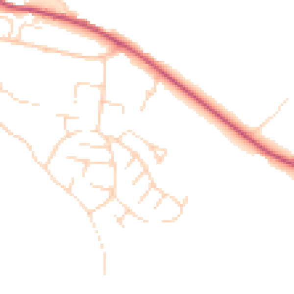
Daytime· 07:00 – 23:00
46.4dB

Night-time· 23:00 – 07:00
38.4dB