23 Burns Drive, Dronfield, S18 1NJ
About 23 Burns Drive
23 Burns Drive is a three-bedroom semi-detached house in Dronfield (S18 1NJ). It has a recorded floor area of 89 m² (around 961 sq ft), construction records dating it to 1967-1975 and council tax band C. The latest certificate (June 2010) shows an F (score 35), near the bottom of the EPC scale. The recommended improvements would lift it to C (score 70), a 3-band jump. The latest certificate is from June 2010, so improvements made since then won't be reflected. The home occupies a cul-de-sac position.
Held since February 2011 — that's 15 years off the open market, well above the local norm. Across the public record there are 4 sales, relatively high churn for a single property. On energy efficiency it sits in the bottom 10% of properties in this postcode — significant headroom for improvement. Across 1997–2011, sale prices on this property compounded at 7.9% per year. Today's modelled estimate of £236,000 is 47.5% above the 2011 sale price.
Know exactly what you're buying at 23 Burns Drive
Before you offer, see what the listing won't tell you, the true value, the red flags and the full history.
Already flagged here
Valuation
against the asking price
Risks
planning & flood
Sold prices
similar homes nearby
Trends
the local market
What this property has
Inside
- Bedrooms3
- Dining roomYes
Outside
- Private gardenYes
- GarageYes
- Cul-de-sacYes
Building
- Heating systemGas
- RefurbishedYes
Energy performance
23 Burns Drive sits at the bottom of the postcode for energy efficiency — meaningful headroom to improve.
EPC Expired
This certificate is over 10 years old and is no longer valid.Expired 29 Jun 2020
EPC Rating
Planning history
23 Burns Drive has no planning applications on record.
Notable planning nearby
2applications of note in the surrounding area
We flagged 1 thing worth checking at 23 Burns Drive
Independent checks surfaced things a buyer would want to understand before offering. The report explains each one in full, with the underlying data and what to ask.
- Larger development activity nearby
30-day money-back guarantee
Sales history & valuation
23 Burns Drive has more than doubled in price since the earliest registered sale in 1997.
£236,000
Modelled from EPC, postcode comparables and a sale-price growth of 7.9% per year over 13 years.
£160,000
Growth on file: 7.9% per year over 13 years.
Sales timeline
24 February 2011Most recent
£160,000
+119.2%over 9 years31 October 2001
£73,000
+16.8%over 2 years25 August 1999
£62,500
+8.7%over 1 year8 October 1997
£57,500
Median price across the last 5 sales in S18 1NJ: £135,000 (2024–2024).
Everything we know about 23 Burns Drive, in one report
What it's really worth, what could be wrong, and the planning, sales and area data in full.
What we flagged
- Larger development activity nearby

Versus other Burns Drive homes
On epc rating, 23 Burns Drive runs well behind the street norm.
Price per m²
£1,792
Street avg £2,244
Floor Area
89 m²
Street avg 94 m²
Habitable Rooms
5 rooms
Street avg 5 rooms
CO₂ Emissions
7.5 t/year
Street avg 4.0 t/year
Similar properties nearby
The neighbourhood at a glance
Daytime road noise here sits well below conversation level — a quiet pocket of the postcode.
Crime
5/mo
Steady year-on-year across the wider district.
Nearest stop
0.1 km
Burns Drive — bus stop.
Closest school
1.1 km
Dronfield Henry Fanshawe School. 11 schools nearby.
Go deeper on the local area
The full report breaks down crime, transport links, schools and air quality in depth.
Road noise across the postcode
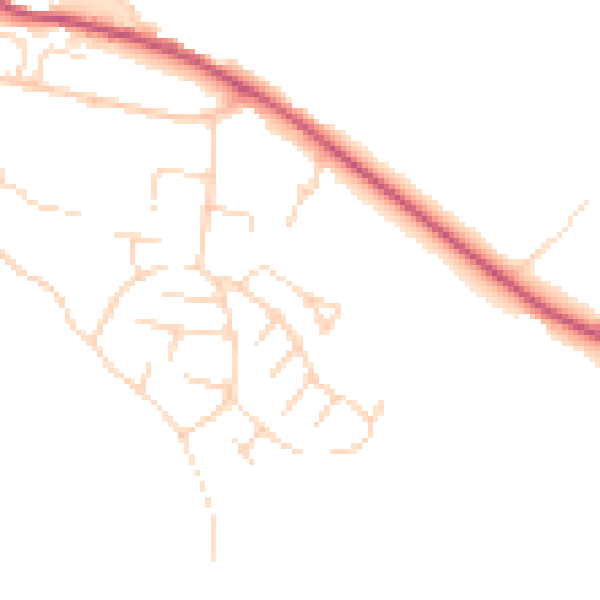
Daytime· 07:00 – 23:00
46.4dB

Night-time· 23:00 – 07:00
38.4dB