11 Burns Drive, Dronfield, S18 1NJ
About 11 Burns Drive
11 Burns Drive is a one-bedroom property in Dronfield (S18 1NJ). It has a recorded floor area of 39 m² (around 421 sq ft), construction records dating it to 1983-1990 and council tax band A. Tenure is freehold. At 39 m² this is the 5th smallest of 45 units on EPC record in the building, where floor areas span 34–132 m². The building's EPC ratings span F to C, with this unit at the top. The latest certificate (September 2011) shows a C (score 72). The latest certificate is from September 2011, so improvements made since then won't be reflected.
At 39 m² it sits well below the postcode median (83 m² across 44 EPCs), making it one of the more compact homes locally. 1 bedrooms is on the smaller side for this postcode, where 3 is the typical count. Sold September 2021 for £120,000. Across the public record there are 4 sales, relatively high churn for a single property. That sale was during the post-pandemic price surge, when transactions cleared materially above pre-2020 trend. Across 1999–2021, sale prices on this property compounded at 5.6% per year. On a £-per-square-foot basis, the last sale (£285/sq ft) was about 61.1% above the typical sold price in the postcode.
Know exactly what you're buying at 11 Burns Drive
Before you offer, see what the listing won't tell you, the true value, the red flags and the full history.
Already flagged here
Valuation
against the asking price
Risks
planning & flood
Sold prices
similar homes nearby
Trends
the local market
What this property has
Inside
- Bedrooms1
- StudyYes
Outside
- Communal gardenYes
Building
- TenureFreehold
- Heating systemGas
Energy performance
11 Burns Drive's carbon output is low for the local stock.
EPC Expired
This certificate is over 10 years old and is no longer valid.Expired 26 Sept 2021
EPC Rating
Planning history
11 Burns Drive has no planning applications on record.
Notable planning nearby
2applications of note in the surrounding area
We flagged 1 thing worth checking at 11 Burns Drive
Independent checks surfaced things a buyer would want to understand before offering. The report explains each one in full, with the underlying data and what to ask.
- Larger development activity nearby
30-day money-back guarantee
Sales history & valuation
Sale price has grown by over 3x since 1999.
£126,000
Modelled from EPC, postcode comparables and a sale-price growth of 5.6% per year over 22 years.
£120,000
Growth on file: 5.6% per year over 22 years.
Sales timeline
2 September 2021Most recent
£120,000
+37.9%over 6 years31 October 2014
£87,000
+3.6%over 9 years20 September 2005
£84,000
+133.3%over 6 years11 July 1999
£36,000
Median price across the last 5 sales in S18 1NJ: £135,000 (2024–2024).
Everything we know about 11 Burns Drive, in one report
What it's really worth, what could be wrong, and the planning, sales and area data in full.
What we flagged
- Larger development activity nearby

Versus other Burns Drive homes
On price per m², 11 Burns Drive stands well clear of the street.
Price per m²
£3,065
Street avg £2,409
Floor Area
39 m²
Street avg 43 m²
Habitable Rooms
2 rooms
Street avg 3 rooms
CO₂ Emissions
1.5 t/year
Street avg 1.8 t/year
Similar properties nearby
The neighbourhood at a glance
Daytime road noise here sits well below conversation level — a quiet pocket of the postcode.
Crime
5/mo
Steady year-on-year across the wider district.
Nearest stop
0.1 km
Burns Drive — bus stop.
Closest school
1.1 km
Dronfield Henry Fanshawe School. 11 schools nearby.
Go deeper on the local area
The full report breaks down crime, transport links, schools and air quality in depth.
Road noise across the postcode
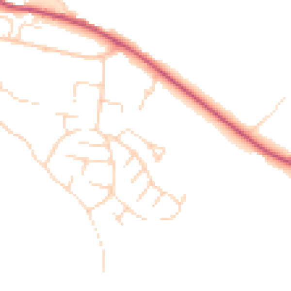
Daytime· 07:00 – 23:00
46.4dB

Night-time· 23:00 – 07:00
38.4dB