10 Grange Crescent, Sheffield, S11 8AY
About 10 Grange Crescent
10 Grange Crescent is a property in Sheffield (S11 8AY). It has council tax band C.
Held since March 2006 — that's 20 years off the open market, well above the local norm. One planning record on file: tree works approved in 2025. Past consents include tree works, meaningful when judging how the property has evolved. The record references conservation-area consent, which constrain future alterations.
Know exactly what you're buying at 10 Grange Crescent
Before you offer, see what the listing won't tell you, the true value, the red flags and the full history.
Already flagged here
Valuation
against the asking price
Risks
planning & flood
Sold prices
similar homes nearby
Trends
the local market
Energy performance
No EPC on record
This property doesn't have an Energy Performance Certificate yet. An EPC is required to sell or let — and unlocks our automated valuation.
Planning history
10 Grange Crescent sits within a conservation area — exterior works face additional planning controls.
- Jan 2025Tree WorksTreesIn report
Pruning and removal of trees (Nether Edge Conservation Area)
Conservation Area- Documents
- 4 docs on file
- Reference
- 24/03683/TCA
We flagged 2 things worth checking at 10 Grange Crescent
Independent checks surfaced things a buyer would want to understand before offering. The report explains each one in full, with the underlying data and what to ask.
- Signs of HMO activity in the area
- Larger development activity nearby
30-day money-back guarantee
Sales history & valuation
£87,000
Recorded with HM Land Registry.
Sales timeline
9 March 2006Most recent
£87,000
Median price across the last 5 sales in S11 8AY: £473,875 (2023–2018).
Nearby sales in S11 8AY
Everything we know about 10 Grange Crescent, in one report
What it's really worth, what could be wrong, and the planning, sales and area data in full.
What we flagged
- Signs of HMO activity in the area
- Larger development activity nearby

Similar properties nearby
The neighbourhood at a glance
Crime
2/mo
Steady year-on-year across the wider district.
Nearest stop
0.2 km
Cemetery Road/Grange Road — bus stop.
Closest school
0.4 km
Porter Croft Church of England Primary Academy. 41 schools nearby.
Go deeper on the local area
The full report breaks down crime, transport links, schools and air quality in depth.
Road noise across the postcode
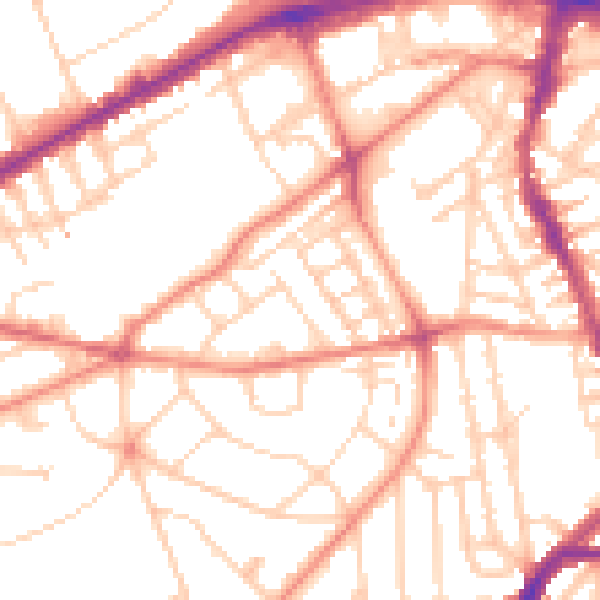
Daytime· 07:00 – 23:00
52.9dB

Night-time· 23:00 – 07:00
41.5dB