6 Dagenham Avenue, Dagenham, RM9 6LD
About 6 Dagenham Avenue
6 Dagenham Avenue is a two-bedroom end-of-terrace house in Dagenham (RM9 6LD). It has a recorded floor area of 82 m² (around 883 sq ft), construction records dating it to 1930-1949 and council tax band C. The latest certificate (May 2015) shows a D (score 64), on the cusp of jumping into the C band. The recommended improvements would lift it to B (score 85), a 2-band jump. The latest certificate is from May 2015, so improvements made since then won't be reflected.
Across 2004–2015, sale prices on this property compounded at 4.8% per year. Today's modelled estimate of £387,000 is 48.9% above the 2015 sale price. On a £-per-square-foot basis, the last sale (£295/sq ft) was about 37.6% above the typical sold price in the postcode. 11 years since the last transfer (July 2015).
Know exactly what you're buying at 6 Dagenham Avenue
Before you offer, see what the listing won't tell you, the true value, the red flags and the full history.
Already flagged here
Valuation
against the asking price
Risks
planning & flood
Sold prices
similar homes nearby
Trends
the local market
What this property has
Inside
- Bedrooms2
Energy performance
Recommended upgrades on file would lift this property by multiple EPC bands.
EPC Expired
This certificate is over 10 years old and is no longer valid.Expired 28 May 2025
EPC Rating
Planning history
6 Dagenham Avenue has no planning applications on record.
Notable planning nearby
2applications of note in the surrounding area
We flagged 1 thing worth checking at 6 Dagenham Avenue
Independent checks surfaced things a buyer would want to understand before offering. The report explains each one in full, with the underlying data and what to ask.
- Larger development activity nearby
30-day money-back guarantee
Sales history & valuation
6 Dagenham Avenue valuation sits well clear of the typical sold price in this postcode.
£387,000
Modelled from EPC, postcode comparables and a sale-price growth of 4.8% per year over 11 years.
£259,950
Growth on file: 4.8% per year over 11 years.
Sales timeline
28 July 2015Most recent
£259,950
+52.9%over 9 years16 February 2006
£170,000
+11.1%over 1 year25 February 2004
£153,000
Median price across the last 5 sales in RM9 6LD: £405,000 (2025–2022).
Nearby sales in RM9 6LD
Everything we know about 6 Dagenham Avenue, in one report
What it's really worth, what could be wrong, and the planning, sales and area data in full.
What we flagged
- Larger development activity nearby

Versus other Dagenham Avenue homes
Habitable Rooms for 6 Dagenham Avenue runs comfortably ahead of the street norm.
Price per m²
£3,170
Street avg £3,528
Floor Area
82 m²
Street avg 79 m²
Habitable Rooms
5 rooms
Street avg 4 rooms
CO₂ Emissions
3.4 t/year
Street avg 3.2 t/year
Similar properties nearby
1 Darcy Gardens
RM9 6BS
1 Blossom Close
RM9 6YE
1 Hatfield Mews
RM9 6JQ
1 Hatfield Road
RM9 6JP
1 Chequers Parade, Ripple Road
RM9 6RT
1 Eaton Gardens
RM9 6ET
1 Arden Crescent
RM9 6TJ
1 Burdetts Road
RM9 6XZ
The neighbourhood at a glance
Rail-style transport is unusually close for this postcode.
Crime
16/mo
Steady year-on-year across the wider district.
Nearest stop
0.1 km
Heathway Dagenham — bus stop.
Closest school
0.3 km
Thomas Arnold Primary School, Rowdowns Road. 44 schools nearby.
Go deeper on the local area
The full report breaks down crime, transport links, schools and air quality in depth.
Road noise across the postcode
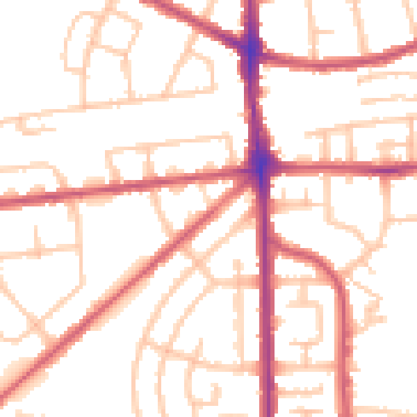
Daytime· 07:00 – 23:00
52.3dB

Night-time· 23:00 – 07:00
42.6dB