17 Honiton Road, Romford, RM7 9AJ
About 17 Honiton Road
17 Honiton Road is a three-bedroom semi-detached house in Romford (RM7 9AJ). It has a recorded floor area of 79 m² (around 850 sq ft), construction records dating it to before 1900 and council tax band C. The latest certificate (November 2019) shows a D (score 59), a step below the typical UK home. The recommended improvements would lift it to B (score 82), a 2-band jump.
Across 2020–2022, sale prices on this property compounded at 8.7% per year. On a £-per-square-foot basis, the last sale (£490/sq ft) was about 101.3% above the typical sold price in the postcode. Sold January 2022 for £417,000. That sale was during the post-pandemic price surge, when transactions cleared materially above pre-2020 trend.
What this property has
Inside
- Bedrooms3
- Bathrooms1
- Dining roomYes
Outside
- Private gardenRear
Building
- Heating systemGas
- RefurbishedYes
Everything you need to know about 17 Honiton Road
The true value, the hidden risks and the full sale history, in one report.
30-day money-back guarantee

The data behind every report


Energy performance
Recommended upgrades on file would lift this property by multiple EPC bands.
EPC Rating
Planning history
17 Honiton Road has no planning applications on record.
Notable planning nearby
8applications of note in the surrounding area
We flagged 1 thing worth checking at 17 Honiton Road
Independent checks surfaced things a buyer would want to understand before offering. The report explains each one in full, with the underlying data and what to ask.
- Signs of HMO activity in the area
30-day money-back guarantee
Sales history & valuation
The latest sale landed in the post-pandemic price surge — useful context when reading the figure.
£450,000
Modelled from EPC, postcode comparables and a sale-price growth of 8.7% per year over 2 years.
£417,000
Growth on file: 8.7% per year over 2 years.
Sales timeline
20 January 2022Most recent
£417,000
+17.5%over 1 year14 February 2020
£355,000
Median price across the last 5 sales in RM7 9AJ: £430,000 (2024–2023).
Versus other Honiton Road homes
Price per m² for 17 Honiton Road runs comfortably ahead of the street norm.
Price per m²
£5,278
Street avg £3,887
Floor Area
79 m²
Street avg 75 m²
Habitable Rooms
5 rooms
Street avg 4 rooms
CO₂ Emissions
4.0 t/year
Street avg 4.2 t/year
Everything you need to know about 17 Honiton Road
The true value, the hidden risks and the full sale history, in one report.
30-day money-back guarantee
The data behind every report
Similar properties nearby
1 Eastbury Road
RM7 9AL
1 Eddy Close
RM7 9HR
1 Kensington Road
RM7 9DA
1 Lessington Avenue
RM7 9EB
1 Knightsbridge Gardens
RM7 9AD
1 Burlington Avenue
RM7 9JD
1 Norfolk Road
RM7 9DL
1 Astor Avenue
RM7 9JH
The neighbourhood at a glance
Rail-style transport is unusually close for this postcode.
Crime
7/mo
Rising year-on-year across the wider district.
Nearest stop
0.1 km
Cotleigh Road — bus stop.
Closest school
0.3 km
Concordia Academy. 38 schools nearby.
Go deeper on the local area
The full report breaks down crime, transport links, schools and air quality in depth.
Road noise across the postcode
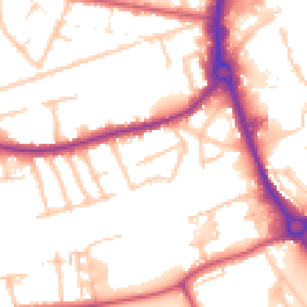
Daytime· 07:00 – 23:00
53.4dB

Night-time· 23:00 – 07:00
43.8dB