19a, Cedar Road, Romford, RM7 7JR
About 19a
19a is a four-bedroom end-of-terrace house in Romford (RM7 7JR). It has a recorded floor area of 111 m² (around 1195 sq ft), construction records dating it to 1930-1949 and council tax band C. The latest certificate (November 2018) shows a D (score 66), on the cusp of jumping into the C band. The recommended improvements would lift it to B (score 84), a 2-band jump. Other recorded features include a conservatory.
At 111 m² it's 23.3% larger than the typical home in the postcode (90 m² median across 12 EPCs). Across 1997–2020, sale prices on this property compounded at 7.8% per year. Today's modelled estimate of £519,000 is 24.2% above the 2020 sale price. On a £-per-square-foot basis, the last sale (£350/sq ft) was about 55.1% above the typical sold price in the postcode. Sold January 2020 for £418,000.
What this property has
Inside
- Bedrooms4
- Bathrooms1
- Dining roomYes
- ConservatoryYes
Outside
- ParkingOff street
Everything you need to know about 19a
The true value, the hidden risks and the full sale history, in one report.
30-day money-back guarantee

The data behind every report


Energy performance
Recommended upgrades on file would lift this property by multiple EPC bands.
EPC Rating
Planning history
19a has no planning applications on record.
Notable planning nearby
12applications of note in the surrounding area
We flagged 1 thing worth checking at 19a
Independent checks surfaced things a buyer would want to understand before offering. The report explains each one in full, with the underlying data and what to ask.
- Signs of HMO activity in the area
30-day money-back guarantee
Sales history & valuation
Price for 19a has grown more than fourfold since the 1997 starting point.
£519,000
Modelled from EPC, postcode comparables and a sale-price growth of 7.8% per year over 22 years.
£418,000
Growth on file: 7.8% per year over 22 years.
Sales timeline
17 January 2020Most recent
£418,000
+435.9%over 22 years6 August 1997
£78,000
Median price across the last 5 sales in RM7 7JR: £383,850 (2025–2018).
Versus other Cedar Road homes
On floor area, 19a stands well clear of the street.
Price per m²
£3,766
Street avg £3,491
Floor Area
111 m²
Street avg 88 m²
Habitable Rooms
6 rooms
Street avg 5 rooms
CO₂ Emissions
4.1 t/year
Street avg 4.4 t/year
Everything you need to know about 19a
The true value, the hidden risks and the full sale history, in one report.
30-day money-back guarantee
The data behind every report
Similar properties nearby
1 Palm Road
RM7 7BX
1 Amanda Mews, Pretoria Road
RM7 7BL
1 Cherry Street
RM7 7LL
10 Beech Street
RM7 7LA
1 Marshalls Road
RM7 7EL
1 Drummond Avenue
RM7 7EH
1 Cedar Road
RM7 7JR
1 Willow Street
RM7 7LJ
The neighbourhood at a glance
Reported crime in the wider district is trending notably upward year-on-year.
Crime
7/mo
Rising year-on-year across the wider district.
Nearest stop
0.1 km
Cedar Road (RM5) — bus stop.
Closest school
0.4 km
St Peter's Catholic Primary School. 31 schools nearby.
Go deeper on the local area
The full report breaks down crime, transport links, schools and air quality in depth.
Road noise across the postcode
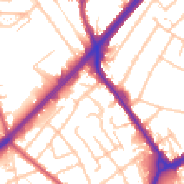
Daytime· 07:00 – 23:00
54.1dB

Night-time· 23:00 – 07:00
45.4dB