15 Barton Avenue, Romford, RM7 0NB
About 15 Barton Avenue
15 Barton Avenue is a three-bedroom end-of-terrace house in Romford (RM7 0NB). It has a recorded floor area of 83 m² (around 893 sq ft), construction records dating it to 1930-1949 and council tax band D. The latest certificate (April 2019) shows a D (score 58), a step below the typical UK home. The rating has held steady at D across 2 certificates since January 2016. Between certificates, window efficiency dropped from Good to Average. The recommended improvements would push it to C (score 77). Records show the property has been extended at some point in its history.
Across 1999–2019, sale prices on this property compounded at 7.9% per year. Today's modelled estimate of £468,000 is 20% above the 2019 sale price. On a £-per-square-foot basis, the last sale (£437/sq ft) was about 53.9% above the typical sold price in the postcode. Sold September 2019 for £390,000.
What this property has
Inside
- Bedrooms3
- Bathrooms2
- CloakroomYes
Outside
- Private gardenYes
- GarageYes
Building
- Previously extendedYes
Everything you need to know about 15 Barton Avenue
The true value, the hidden risks and the full sale history, in one report.
30-day money-back guarantee

The data behind every report


Energy performance
EPC Rating
Planning history
15 Barton Avenue has no planning applications on record.
Notable planning nearby
7applications of note in the surrounding area
We flagged 1 thing worth checking at 15 Barton Avenue
Independent checks surfaced things a buyer would want to understand before offering. The report explains each one in full, with the underlying data and what to ask.
- Signs of HMO activity in the area
30-day money-back guarantee
Sales history & valuation
15 Barton Avenue has more than quadrupled in price since its earliest registered sale in 1999.
£468,000
Modelled from EPC, postcode comparables and a sale-price growth of 7.9% per year over 20 years.
£390,000
Growth on file: 7.9% per year over 20 years.
Sales timeline
19 September 2019Most recent
£390,000
+364.3%over 20 years27 May 1999
£84,000
Median price across the last 5 sales in RM7 0NB: £465,000 (2025–2022).
Versus other Barton Avenue homes
Price per m²
£4,699
Street avg £4,193
Floor Area
83 m²
Street avg 85 m²
Habitable Rooms
5 rooms
Street avg 5 rooms
CO₂ Emissions
4.3 t/year
Street avg 4.3 t/year
Everything you need to know about 15 Barton Avenue
The true value, the hidden risks and the full sale history, in one report.
30-day money-back guarantee
The data behind every report
Similar properties nearby
1 Croxford Way
RM7 0UT
1 Foxglove Road, Rush Green
RM7 0YW
1 Leonard Avenue
RM7 0UR
1 Camomile Road, Rush Green
RM7 0WW
1 Barton Avenue
RM7 0NB
1 Fuchsia Close, Rush Green
RM7 0YZ
1 Dandelion Close, Rush Green
RM7 0YY
1 Braithwaite Avenue
RM7 0DS
The neighbourhood at a glance
Reported crime in the wider district is trending notably upward year-on-year.
Crime
7/mo
Rising year-on-year across the wider district.
Nearest stop
0.1 km
Barton Avenue — bus stop.
Closest school
0.7 km
Robert Clack School. 43 schools nearby.
Go deeper on the local area
The full report breaks down crime, transport links, schools and air quality in depth.
Road noise across the postcode
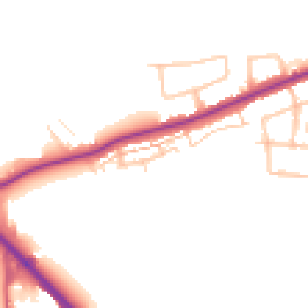
Daytime· 07:00 – 23:00
48.4dB

Night-time· 23:00 – 07:00
41.0dB