73 Oldchurch Gardens, Romford, RM7 0DJ
About 73 Oldchurch Gardens
73 Oldchurch Gardens is an end-of-terrace house in Romford (RM7 0DJ). It has a recorded floor area of 52 m² (around 558 sq ft), construction records dating it to 1950-1966 and council tax band A. At 52 m² this is the 7th smallest of 23 units on EPC record in the building, where floor areas span 48–62 m². The building's EPC ratings span E to C across 23 units on file. The latest certificate (January 2011) shows a D (score 68), on the cusp of jumping into the C band. The latest certificate is from January 2011, so improvements made since then won't be reflected.
Everything you need to know about 73 Oldchurch Gardens
The true value, the hidden risks and the full sale history, in one report.
30-day money-back guarantee

The data behind every report


Energy performance
73 Oldchurch Gardens's EPC is over a decade old — improvements since won't be reflected.
EPC Expired
This certificate is over 10 years old and is no longer valid.Expired 28 Jan 2021
EPC Rating
Planning history
73 Oldchurch Gardens has no planning applications on record.
Notable planning nearby
7applications of note in the surrounding area
We flagged 1 thing worth checking at 73 Oldchurch Gardens
Independent checks surfaced things a buyer would want to understand before offering. The report explains each one in full, with the underlying data and what to ask.
- Signs of HMO activity in the area
30-day money-back guarantee
Sales history & valuation
73 Oldchurch Gardens has no Land Registry sales on file, suggesting it has stayed in the same hands since registration began.
£209,000
Modelled from EPC, postcode comparables.
No sales recorded with HM Land Registry
That can mean the property has never traded since the registry began publishing in 1995, was a new build that hasn't been registered yet, or is held in the same hands long-term.
Median price across the last 5 sales in RM7 0DJ: £215,000 (2023–2017).
Nearby sales in RM7 0DJ
Versus other Oldchurch Gardens homes
Habitable Rooms for 73 Oldchurch Gardens lags the street by a wide margin.
EPC Rating
68 (D)
Street avg 65 (D)
Floor Area
52 m²
Street avg 55 m²
CO₂ Emissions
2.8 t/year
Street avg 2.5 t/year
Habitable Rooms
2 rooms
Street avg 3 rooms
Everything you need to know about 73 Oldchurch Gardens
The true value, the hidden risks and the full sale history, in one report.
30-day money-back guarantee
The data behind every report
Similar properties nearby
The neighbourhood at a glance
Reported crime in the wider district is trending notably upward year-on-year.
Crime
7/mo
Rising year-on-year across the wider district.
Nearest stop
0.1 km
Crow Lane — bus stop.
Closest school
0.5 km
Concordia Academy. 38 schools nearby.
Go deeper on the local area
The full report breaks down crime, transport links, schools and air quality in depth.
Road noise across the postcode
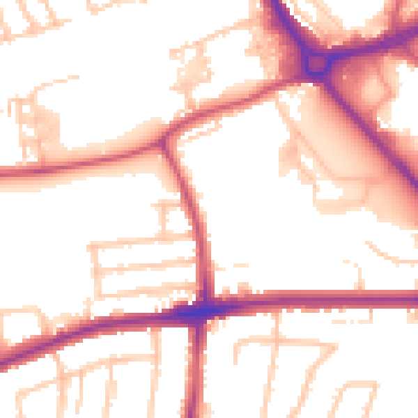
Daytime· 07:00 – 23:00
53.3dB
Night-time· 23:00 – 07:00
43.4dB