61 Oldchurch Gardens, Romford, RM7 0DJ
About 61 Oldchurch Gardens
61 Oldchurch Gardens is a detached house in Romford (RM7 0DJ). It has a recorded floor area of 62 m² (around 667 sq ft), construction records dating it to 1930-1949 and council tax band A. At 62 m² this is the largest unit on EPC record across the building (48–62 m²). The building's EPC ratings span E to C across 23 units on file. The latest certificate (May 2023) shows a D (score 68), on the cusp of jumping into the C band. The recommended improvements would push it to C (score 78).
Across 2007–2023, sale prices on this property compounded at 3.9% per year. On a £-per-square-foot basis, the last sale (£327/sq ft) was about 39% above the typical sold price in the postcode. Last sale on file: £218,500 in September 2023.
Everything you need to know about 61 Oldchurch Gardens
The true value, the hidden risks and the full sale history, in one report.
30-day money-back guarantee

The data behind every report


Energy performance
EPC Rating
Planning history
61 Oldchurch Gardens has no planning applications on record.
Notable planning nearby
7applications of note in the surrounding area
We flagged 1 thing worth checking at 61 Oldchurch Gardens
Independent checks surfaced things a buyer would want to understand before offering. The report explains each one in full, with the underlying data and what to ask.
- Signs of HMO activity in the area
30-day money-back guarantee
Sales history & valuation
61 Oldchurch Gardens valuation sits well clear of the typical sold price in this postcode.
£226,000
Modelled from EPC, postcode comparables and a sale-price growth of 3.9% per year over 16 years.
£218,500
Growth on file: 3.9% per year over 16 years.
Sales timeline
28 September 2023Most recent
£218,500
+82.1%over 15 years30 November 2007
£120,000
Median price across the last 5 sales in RM7 0DJ: £210,000 (2019–2017).
Nearby sales in RM7 0DJ
Versus other Oldchurch Gardens homes
On price per m², 61 Oldchurch Gardens runs well behind the street norm.
Price per m²
£3,524
Street avg £4,025
Floor Area
62 m²
Street avg 55 m²
Habitable Rooms
3 rooms
Street avg 3 rooms
CO₂ Emissions
2.5 t/year
Street avg 2.5 t/year
Everything you need to know about 61 Oldchurch Gardens
The true value, the hidden risks and the full sale history, in one report.
30-day money-back guarantee
The data behind every report
Similar properties nearby
The neighbourhood at a glance
Reported crime in the wider district is trending notably upward year-on-year.
Crime
7/mo
Rising year-on-year across the wider district.
Nearest stop
0.1 km
Crow Lane — bus stop.
Closest school
0.5 km
Concordia Academy. 38 schools nearby.
Go deeper on the local area
The full report breaks down crime, transport links, schools and air quality in depth.
Road noise across the postcode
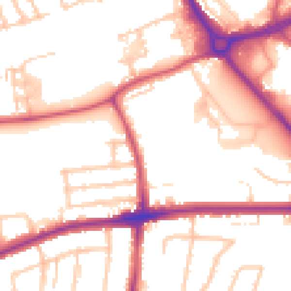
Daytime· 07:00 – 23:00
53.3dB
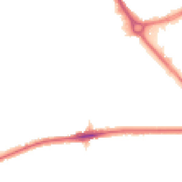
Night-time· 23:00 – 07:00
43.4dB