49a, Wolseley Road, Romford, RM7 0BS
About 49a
49a is a two-bedroom semi-detached house in Romford (RM7 0BS). It has a recorded floor area of 44 m² (around 474 sq ft), construction records dating it to 1930-1949 and council tax band B. Tenure is freehold. The latest certificate (November 2016) shows an E (score 54), well below the UK norm with real room to improve. The recommended improvements would push it to D (score 68).
Held since June 2005 — that's 21 years off the open market, well above the local norm. Today's modelled estimate of £244,000 sits 187.1% above the 2005 sale of £85,000. On a £-per-square-foot basis, the last sale (£179/sq ft) was about 29.6% below the postcode norm. At 44 m² it sits well below the postcode median (74 m² across 40 EPCs), making it one of the more compact homes locally. It lags the bulk of the postcode on energy efficiency (less efficient than 83% of similar EPCs).
What this property has
Inside
- Bedrooms2
- Bathrooms1
- FireplaceYes
Outside
- Private gardenRear
- GarageYes
Building
- TenureFreehold
- Heating systemGas
Everything you need to know about 49a
The true value, the hidden risks and the full sale history, in one report.
30-day money-back guarantee

The data behind every report


Energy performance
EPC Rating
Planning history
49a has no planning applications on record.
Notable planning nearby
7applications of note in the surrounding area
We flagged 1 thing worth checking at 49a
Independent checks surfaced things a buyer would want to understand before offering. The report explains each one in full, with the underlying data and what to ask.
- Signs of HMO activity in the area
30-day money-back guarantee
Sales history & valuation
49a changed hands twice within eighteen months — unusual for the area.
£244,000
Modelled from EPC, postcode comparables.
£85,000
Recorded with HM Land Registry.
Sales timeline
20 June 2005Most recent
£85,000
29 July 2004
£85,000
Median price across the last 5 sales in RM7 0BS: £390,000 (2025–2023).
Nearby sales in RM7 0BS
Versus other Wolseley Road homes
49a is notably below the street on epc rating.
Price per m²
£1,932
Street avg £7,567
Floor Area
44 m²
Street avg 43 m²
Habitable Rooms
3 rooms
Street avg 3 rooms
CO₂ Emissions
3.2 t/year
Street avg 2.0 t/year
Everything you need to know about 49a
The true value, the hidden risks and the full sale history, in one report.
30-day money-back guarantee
The data behind every report
Similar properties nearby
1 Bluebell Close, Rush Green
RM7 0XN
1 Campion Close, Rush Green
RM7 0WX
1 Lambert Court, Crow Lane
RM7 0EN
1 Braithwaite Avenue
RM7 0DS
1 Fuchsia Close, Rush Green
RM7 0YZ
1 Foxglove Road, Rush Green
RM7 0YW
1 Croxford Way
RM7 0UT
1 Leonard Avenue
RM7 0UR
The neighbourhood at a glance
Reported crime in the wider district is trending notably upward year-on-year.
Crime
7/mo
Rising year-on-year across the wider district.
Nearest stop
0.2 km
Norwood Avenue — bus stop.
Closest school
0.5 km
Rush Green Primary School. 38 schools nearby.
Go deeper on the local area
The full report breaks down crime, transport links, schools and air quality in depth.
Road noise across the postcode
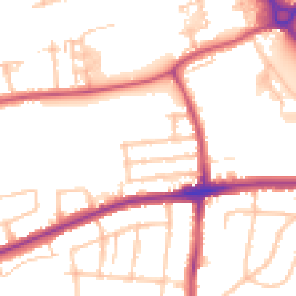
Daytime· 07:00 – 23:00
51.8dB

Night-time· 23:00 – 07:00
41.6dB