24 Wolseley Road, Romford, RM7 0BS
About 24 Wolseley Road
24 Wolseley Road is a two-bedroom mid-terrace house in Romford (RM7 0BS). It has a recorded floor area of 73 m² (around 786 sq ft), construction records dating it to 1900-1929 and council tax band C. The latest certificate (June 2025) shows a C (score 70). The recommended improvements would push it to B (score 87).
It changed hands recently, sold October 2025 for £405,000. Its energy rating outperforms most of the postcode (better than 80% of similar EPCs). Across 2002–2025, sale prices on this property compounded at 5.9% per year. On a £-per-square-foot basis, the last sale (£515/sq ft) was about 104.6% above the typical sold price in the postcode.
What this property has
Inside
- Bedrooms2
- Bathrooms1
- Dining roomYes
- CloakroomYes
Everything you need to know about 24 Wolseley Road
The true value, the hidden risks and the full sale history, in one report.
30-day money-back guarantee

The data behind every report


Energy performance
EPC Rating
Planning history
24 Wolseley Road has no planning applications on record.
Notable planning nearby
7applications of note in the surrounding area
We flagged 1 thing worth checking at 24 Wolseley Road
Independent checks surfaced things a buyer would want to understand before offering. The report explains each one in full, with the underlying data and what to ask.
- Signs of HMO activity in the area
30-day money-back guarantee
Sales history & valuation
Sale price has grown by over 3x since 2002.
£404,000
Modelled from EPC, postcode comparables and a sale-price growth of 5.9% per year over 23 years.
£405,000
Growth on file: 5.9% per year over 23 years.
Sales timeline
14 October 2025Most recent
£405,000
+285.7%over 23 years4 June 2002
£105,000
Median price across the last 5 sales in RM7 0BS: £390,000 (2024–2023).
Nearby sales in RM7 0BS
Versus other Wolseley Road homes
Years Held for 24 Wolseley Road lags the street by a wide margin.
Price per m²
£5,548
Street avg £4,896
Floor Area
73 m²
Street avg 84 m²
Habitable Rooms
4 rooms
Street avg 5 rooms
CO₂ Emissions
2.4 t/year
Street avg 4.0 t/year
Everything you need to know about 24 Wolseley Road
The true value, the hidden risks and the full sale history, in one report.
30-day money-back guarantee
The data behind every report
Similar properties nearby
1 Campion Close, Rush Green
RM7 0WX
1 Bluebell Close, Rush Green
RM7 0XN
1 Fuchsia Close, Rush Green
RM7 0YZ
1 Braithwaite Avenue
RM7 0DS
1 Foxglove Road, Rush Green
RM7 0YW
1 Croxford Way
RM7 0UT
1 Leonard Avenue
RM7 0UR
1 Camomile Road, Rush Green
RM7 0WW
The neighbourhood at a glance
Reported crime in the wider district is trending notably upward year-on-year.
Crime
7/mo
Rising year-on-year across the wider district.
Nearest stop
0.2 km
Norwood Avenue — bus stop.
Closest school
0.5 km
Rush Green Primary School. 38 schools nearby.
Go deeper on the local area
The full report breaks down crime, transport links, schools and air quality in depth.
Road noise across the postcode
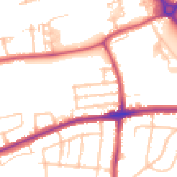
Daytime· 07:00 – 23:00
51.8dB

Night-time· 23:00 – 07:00
41.6dB