26a, Arthur Road, Romford, RM6 4NL
About 26a
26a is a four-bedroom end-of-terrace house in Romford (RM6 4NL). It has a recorded floor area of 99 m² (around 1066 sq ft), construction records dating it to 1930-1949 and council tax band D. The latest certificate (July 2020) shows a D (score 56), a step below the typical UK home. Earlier certificates rated it C (March 2010); the latest reading is one band lower. Between certificates, lighting went from Average to Good; while wall efficiency dropped from Good to Very Poor. The recommended improvements would lift it to B (score 86), a 2-band jump.
One planning record on file: a loft conversion approved in 2006. Past consents include a loft conversion, meaningful when judging how the property has evolved. Today's modelled estimate of £534,000 is 40.5% above the 2016 sale price. On a £-per-square-foot basis, the last sale (£357/sq ft) was about 34.9% above the typical sold price in the postcode. On the market in February 2016 and unlisted since — roughly 10 years.
What this property has
Inside
- Bedrooms4
- EnsuiteYes
Outside
- Private gardenYes
- ParkingOff street
Building
- Central heatingYes
- RefurbishedYes
Everything you need to know about 26a
The true value, the hidden risks and the full sale history, in one report.
30-day money-back guarantee

The data behind every report


Energy performance
Recommended upgrades on file would lift this property by multiple EPC bands.
EPC Rating
Property Improvements
Changes detected from historical EPC data
More low energy lighting installed
Planning history
- Jan 2006
We flagged 1 thing worth checking at 26a
Independent checks surfaced things a buyer would want to understand before offering. The report explains each one in full, with the underlying data and what to ask.
- Signs of HMO activity in the area
30-day money-back guarantee
Sales history & valuation
26a valuation sits well clear of the typical sold price in this postcode.
£534,000
Modelled from EPC, postcode comparables.
£380,000
Recorded with HM Land Registry.
Sales timeline
16 February 2016Most recent
£380,000
Median price across the last 5 sales in RM6 4NL: £441,000 (2022–2015).
Versus other Arthur Road homes
On epc rating, 26a runs well behind the street norm.
Price per m²
£3,838
Street avg £3,512
Floor Area
99 m²
Street avg 96 m²
Habitable Rooms
5 rooms
Street avg 5 rooms
CO₂ Emissions
5.0 t/year
Street avg 3.6 t/year
Everything you need to know about 26a
The true value, the hidden risks and the full sale history, in one report.
30-day money-back guarantee
The data behind every report
Similar properties nearby
The neighbourhood at a glance
Rail-style transport is unusually close for this postcode.
Crime
6/mo
Steady year-on-year across the wider district.
Nearest stop
0.1 km
Hall Road (RM6) — bus stop.
Closest school
0.5 km
Chadwell Primary School. 50 schools nearby.
Go deeper on the local area
The full report breaks down crime, transport links, schools and air quality in depth.
Road noise across the postcode
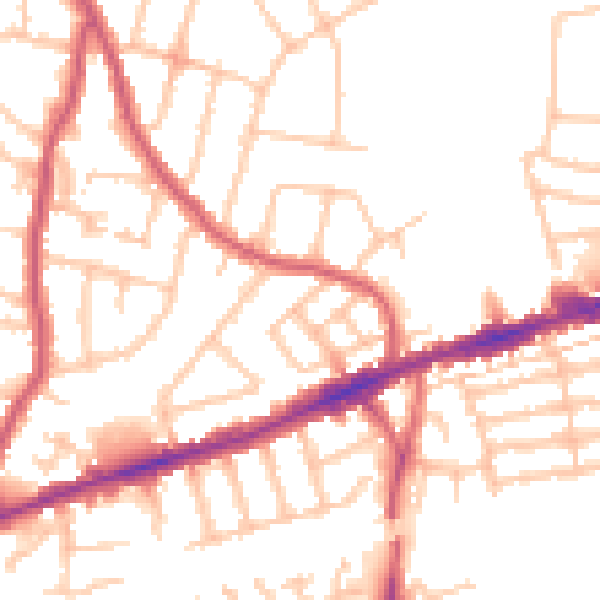
Daytime· 07:00 – 23:00
51.5dB

Night-time· 23:00 – 07:00
41.1dB