41 Coleridge Road, Romford, RM3 7BD
About 41 Coleridge Road
41 Coleridge Road is a three-bedroom detached house in Romford (RM3 7BD). It has a recorded floor area of 79 m² (around 848 sq ft), construction records dating it to 1950-1966 and council tax band E. The latest certificate (February 2010) shows an F (score 38), near the bottom of the EPC scale. The recommended improvements would push it to E (score 44). Main heating runs on electricity. The latest certificate is from February 2010, so improvements made since then won't be reflected.
Untraded for 16 years, with the last transfer in July 2010. At 79 m² it's 18.8% smaller than the typical home in the postcode (97 m² median across 19 EPCs). On energy efficiency it sits in the bottom 10% of properties in this postcode — significant headroom for improvement. Today's modelled estimate of £466,000 sits 90.2% above the 2010 sale of £245,000.
Know exactly what you're buying at 41 Coleridge Road
Before you offer, see what the listing won't tell you, the true value, the red flags and the full history.
Already flagged here
Valuation
against the asking price
Risks
planning & flood
Sold prices
similar homes nearby
Trends
the local market
What this property has
Inside
- Bedrooms3
Energy performance
41 Coleridge Road sits at the bottom of the postcode for energy efficiency — meaningful headroom to improve.
EPC Expired
This certificate is over 10 years old and is no longer valid.Expired 26 Feb 2020
EPC Rating
Planning history
41 Coleridge Road has no planning applications on record.
Notable planning nearby
8applications of note in the surrounding area
We flagged 1 thing worth checking at 41 Coleridge Road
Independent checks surfaced things a buyer would want to understand before offering. The report explains each one in full, with the underlying data and what to ask.
- Signs of HMO activity in the area
30-day money-back guarantee
Sales history & valuation
41 Coleridge Road valuation sits well clear of the typical sold price in this postcode.
£466,000
Modelled from EPC, postcode comparables.
£245,000
Recorded with HM Land Registry.
Sales timeline
11 July 2010Most recent
£245,000
Median price across the last 5 sales in RM3 7BD: £480,000 (2025–2024).
Nearby sales in RM3 7BD
Everything we know about 41 Coleridge Road, in one report
What it's really worth, what could be wrong, and the planning, sales and area data in full.
What we flagged
- Signs of HMO activity in the area

Versus other Coleridge Road homes
41 Coleridge Road is notably below the street on epc rating.
Price per m²
£3,111
Street avg £4,138
Floor Area
79 m²
Street avg 99 m²
Habitable Rooms
5 rooms
Street avg 5 rooms
CO₂ Emissions
7.2 t/year
Street avg 4.9 t/year
Similar properties nearby
The neighbourhood at a glance
Reported crime in the wider district is trending notably upward year-on-year.
Crime
6/mo
Rising year-on-year across the wider district.
Nearest stop
0.3 km
Keats Avenue — bus stop.
Closest school
0.5 km
Hilldene Primary School. 30 schools nearby.
Go deeper on the local area
The full report breaks down crime, transport links, schools and air quality in depth.
Road noise across the postcode
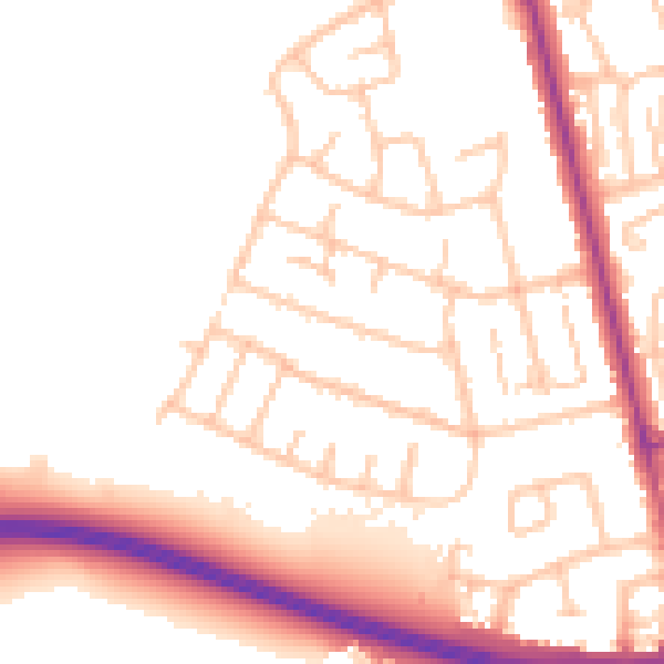
Daytime· 07:00 – 23:00
52.1dB

Night-time· 23:00 – 07:00
42.4dB