39 Coleridge Road, Romford, RM3 7BD
About 39 Coleridge Road
39 Coleridge Road is a two-bedroom detached house in Romford (RM3 7BD). It has a recorded floor area of 80 m² (around 861 sq ft), construction records dating it to 1930-1949 and council tax band E. The latest certificate (May 2018) shows an E (score 49), well below the UK norm with real room to improve. The recommended improvements would lift it to B (score 82), a 3-band jump.
Today's modelled estimate of £481,000 is 35.5% above the 2020 sale price. On a £-per-square-foot basis, the last sale (£412/sq ft) was about 50.1% above the typical sold price in the postcode. At 80 m² it's 17.5% smaller than the typical home in the postcode (97 m² median across 19 EPCs). Most recent transfer: February 2020 at £355,000. One historical planning record sits against the property in 2021.
Know exactly what you're buying at 39 Coleridge Road
Before you offer, see what the listing won't tell you, the true value, the red flags and the full history.
Already flagged here
Valuation
against the asking price
Risks
planning & flood
Sold prices
similar homes nearby
Trends
the local market
What this property has
Inside
- Bedrooms2
- Bathrooms1
Outside
- Private gardenYes
- GarageDetached
Building
- Central heatingYes
Energy performance
Recommended upgrades on file would lift this property by multiple EPC bands.
EPC Rating
Planning history
Planning history includes recorded demolition works, indicating a major rebuild phase at this address.
- Aug 2021DemolitionFullIn report
Extension: Single storey · Side and rear of property
Single storey side and rear extension including demolition of detached garage
Extension- Documents
- 6 docs on file
- Reference
- P1132.21
We flagged 1 thing worth checking at 39 Coleridge Road
Independent checks surfaced things a buyer would want to understand before offering. The report explains each one in full, with the underlying data and what to ask.
- Signs of HMO activity in the area
30-day money-back guarantee
Sales history & valuation
The latest sale landed in the post-pandemic price surge — useful context when reading the figure.
£481,000
Modelled from EPC, postcode comparables.
£355,000
Recorded with HM Land Registry.
Sales timeline
17 February 2020Most recent
£355,000
Median price across the last 5 sales in RM3 7BD: £480,000 (2025–2024).
Nearby sales in RM3 7BD
Everything we know about 39 Coleridge Road, in one report
What it's really worth, what could be wrong, and the planning, sales and area data in full.
What we flagged
- Signs of HMO activity in the area

Versus other Coleridge Road homes
Floor Area for 39 Coleridge Road lags the street by a wide margin.
Price per m²
£4,438
Street avg £4,060
Floor Area
80 m²
Street avg 99 m²
Habitable Rooms
4 rooms
Street avg 5 rooms
CO₂ Emissions
5.0 t/year
Street avg 5.0 t/year
Similar properties nearby
The neighbourhood at a glance
Reported crime in the wider district is trending notably upward year-on-year.
Crime
6/mo
Rising year-on-year across the wider district.
Nearest stop
0.3 km
Keats Avenue — bus stop.
Closest school
0.5 km
Hilldene Primary School. 30 schools nearby.
Go deeper on the local area
The full report breaks down crime, transport links, schools and air quality in depth.
Road noise across the postcode
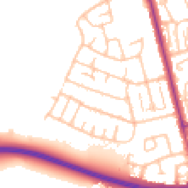
Daytime· 07:00 – 23:00
52.1dB

Night-time· 23:00 – 07:00
42.4dB